What is recorded here
In the SW quadrant of a rath (SL025-064----). A shallow curved depression (Wth 1.6m; D 0.45m), probably a collapsed Man-made underground passage passage, extends eastwards from the bank of the rath at W for c. 4m and then turns southwards for c. 7m. A circular hollow (diam. c. 5.5m; D 0.65m) noted c. 4m S of the Man-made underground passage, abutting the inner face of the bank at SSW, may be associated with the Man-made underground passage or may merely be the result of recent digging.
The above description is derived from the published 'Archaeological Inventory of County Sligo' compiled by Ursula Egan, Elizabeth Byrne, Mary Sleeman with Sheila Ronan and Connie Murphy (Dublin Stationery Office, 2005).
Date of upload: 18 January 2008
The monument record does not grant public access. Check the route and ask the landowner before entering private land.
- What survives
- Recorded monument
Places near here
 IndicatedFairy fort / earthen ringfort · 9 yd
 Mass RockMass-rock · 876 yd
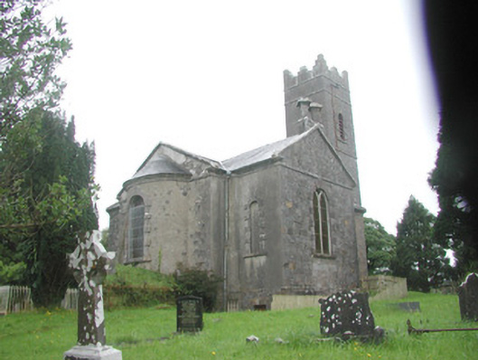 Killoran Churchchurch/chapel · 898 yd
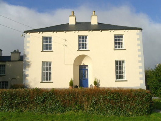 Rathbarran Houserectory/glebe/vicarage/curate's house · 964 yd
 Moymlough Castle (in Ruins)Castle, tower house · 2.5 mi
 Tullaghan HillMountain / peak · 2.5 mi
 European ashEuropean ash · 2.7 mi
 DoomoreMountain / peak · 2.8 mi
 ElderElder · 3.3 mi
 CastleCastle, unclassified · 4.1 mi
 RinnatalleenHeadland · 4.6 mi
 Brother WalfridMemorial · 6.0 mi