What is recorded here
A 4m N-S stretch of Man-made underground passage is visible here. The walls are of drystone construction c. 1m high and 1.2m wide. The N end narrows to about .5m wide and a slab spans the width at mid-height. N of this the stretch terminates in collapsed earth. At the S end the walls are squared-off and meet suggesting that this was one of the original terminals of the Man-made underground passage. Four slabs survive as roof lintels. 3m E of the N end, a slab is visible in the ground, possibly indicating another section of the Man-made underground passage. The site is located in rough ground with good pasture nearby.
The above description was derived from the 'Archaeological Survey of County Donegal. A description of the field antiquities of the County from the Mesolithic Period to the 17th century.' Compiled by: Brian Lacey with Eamon Cody, Claire Cotter, Judy Cuppage, Noel Dunne, Vincent Hurley, Celie O'Rahilly, Paul Walsh and Seán Ó Nualláin (Lifford: Donegal County Council, 1983). In certain instances the entries have been revised and updated.
Date of upload: 22 September 2008
The monument record does not grant public access. Check the route and ask the landowner before entering private land.
- What survives
- Recorded monument
Places near here
 Cratlagh Earthen RingfortFairy fort / earthen ringfort · 241 yd
 presbytery/parochial/curate's housepresbytery/parochial/curate's house · 1395 yd
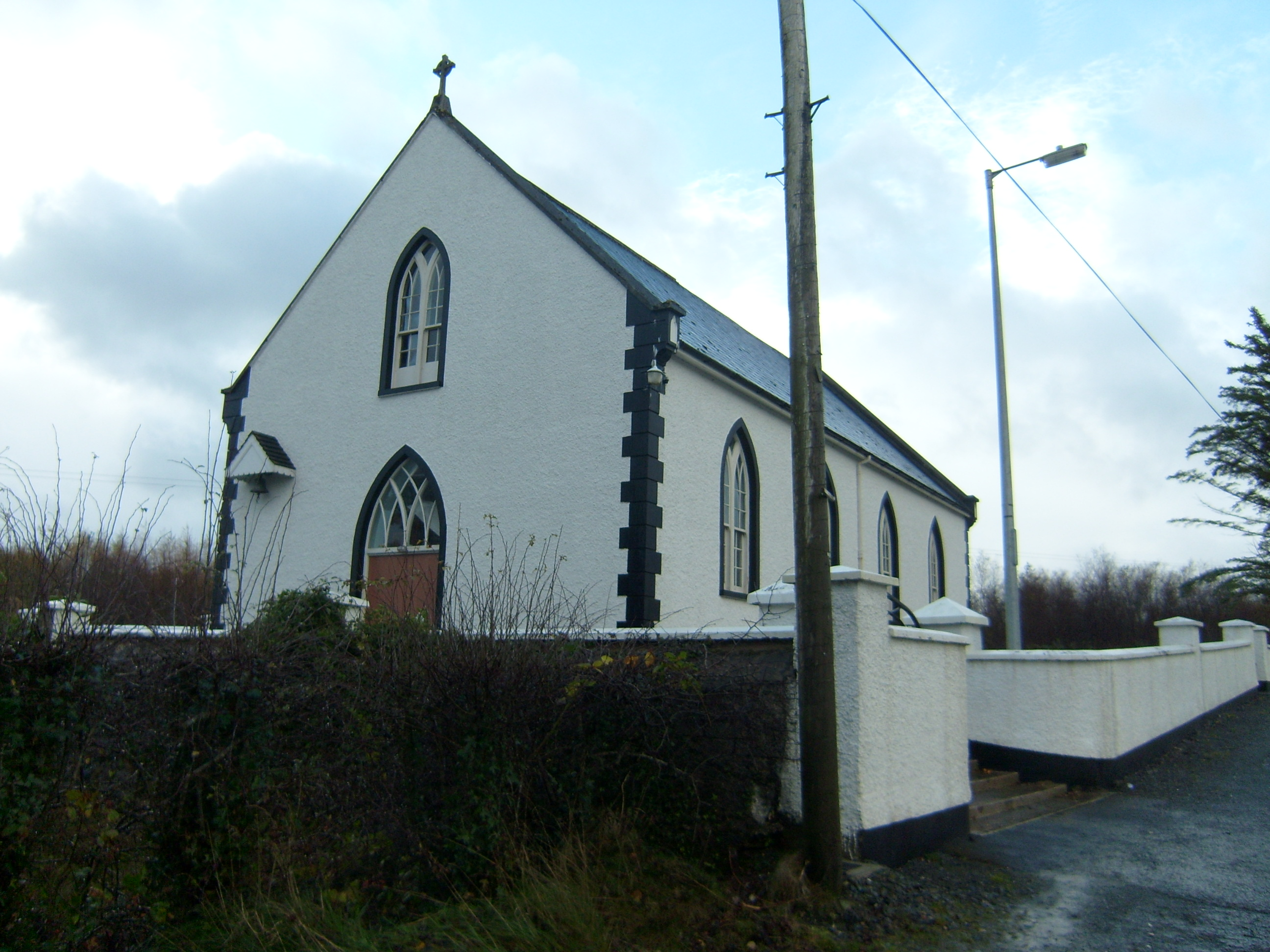 Saint Brigid's Catholic Churchchurch/chapel · 1494 yd
 Doongonmoyle Stone Fort SiteFairy fort / stone ringfort · 1.5 mi
 WoodquarterForest recreation place · 1.8 mi
 Rough IslandIslet · 2.2 mi
 Loughsalt MountainMountain / peak · 2.7 mi
 Cranberry IslandIslet · 2.8 mi
 Castle (Site of)Castle, unclassified · 4.8 mi
 Ballyarr Nature ReserveNational nature reserve · 4.9 mi
 Bawn in RathmeltonBawn · 5.3 mi
 Tullyaughnish Old Church GraveyardGraveyard · 5.4 mi