
What is recorded here
Fourteen metres of dry stone curve from north to southeast beneath Courtbane, blocking at both ends in rubble. The passage is one metre wide and twelve metres high enough to crouch but not stand, a narrow throat dug beside the old ringfort. It may have hidden people, tools or memory when the surface world turned dangerous, but collapse has erased the answer. What remains is shape: a made hole in the earth, patient and dark, waiting for someone to listen.
The following description is derived from both the published 'Archaeological Inventory of County Louth' (Dublin: Stationery Office, 1986) and the 'Archaeological Survey of County Louth' (Dublin: Stationery Office, 1991). In certain instances the entries have been revised and updated in the light of recent research.
Date of upload/revision: 17 July 2007
Consists of a section of a drystone-built passage (L 14m, Wth 1m, H 1.2m) curving gently N to SE and blocked at both ends by collapse. Discovered at site of ringfort (LH003-017001-). Investigated by A.B. Ó Ríordáin. (NMI file)
The monument record does not grant public access. Check the route and ask the landowner before entering private land.
- What survives
- Recorded monument
Places near here
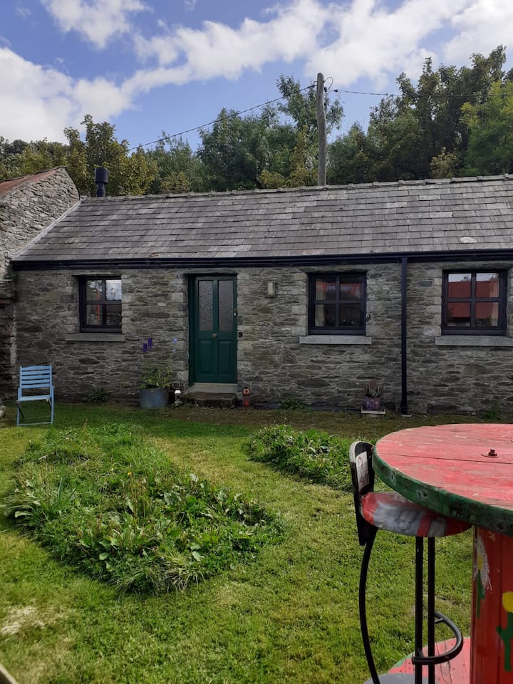 Enclosure in TawnamoreEnclosure · 1184 yd
 Morgans fortFairy fort / earthen ringfort · 1636 yd
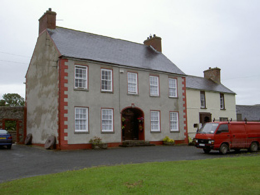 Clonaleenaghan Househouse · 1.5 mi
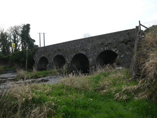 Magoney Bridgebridge · 2.3 mi
 Golf 30Fort · 2.4 mi
 CastleCastle, unclassified · 2.5 mi
 MEDIEVAL & POST-MED. CHURCH & GRAVEYARD in Creggan Bane GlebeMEDIEVAL & POST-MED. CHURCH & GRAVEYARD · 2.8 mi
 Battle of Newry Roadbattle · 3.0 mi
 Ballsmill Amenity LandPicnic place · 3.1 mi
 Sky HillMountain / peak · 3.6 mi
 Irish Hunger StrikersMemorial · 3.9 mi
 KnockreaghMountain / peak · 4.7 mi
Other information
Photo: Credit not shown in the picture search · Rights wording not checked; contact us if this picture should be removed