
What is recorded here
Situated in a large rectangular arable field just SE of Donabate village along New Road. An arc of housing occupies the NE quadrant of the field. The field is cultivated into NNE-SSW running ridge and furrow, newly planted with cabbage plants. On a S-facing slope, down from the crest of an E-W running ridge, an oval area of ground (L 20m x Wth 8m) has been skirted by a planting tractor in avoidance of lower ground within. At the centre of this area is a sunken hollow (D 0.25m) within which is a large capstone, (L1m x Wth 0.54m) set along an ESE – WSW axis and embedded within the ground, below the ploughsoil. This is edged by an adjacent boulder (L. 0.5m) and another stone lies to the S. The upper surface of the capstone, which is triangular in section, slopes NNE and SSW, has spalls have been removed from its upper surface in the past, probably through plough damage. The capstone or lintel is indicative of the presence of a Man-made underground passage. No entrance point to the Man-made underground passage is visible save approximately 13m downslope another small dip in the topography of the ploughsoil. No variations in soil texture or colour were observed at the time of the site visit indicating that the entrance hole had been infilled some time ago. There is no current access to the Man-made underground passage.
From a video of the Man-made underground passage interior which had been provided to NMS, the Man-made underground passage is T shaped in layout. A low passageway exits a small low corbelled beehive chamber of drystone construction. The walls are composed of crude angular and rounded boulders with the upper courses of the passageway walls oversailing to create a corbelled effect but roofed by flat lintels. One passageway is intersected by a taller passageway running at right angles to the former. One of the passageway ends is fairly crudely blocked by roughly coursed boulders while the other may consist of a drop-hole at its end. There are occasional areas of collapse creating an uneven floor surface.
Compiled by: Margaret Keane
Uploaded on: 20th July 2022
The monument record does not grant public access. Check the route and ask the landowner before entering private land.
- What survives
- Recorded monument
Places near here
 Enclosure in Corballis (nethercross By.)Enclosure · 67 yd
 Ring-ditch in Corballis (nethercross By.)Ring-ditch · 263 yd
 Saint Patrick's Catholic Churchchurch/chapel · 576 yd
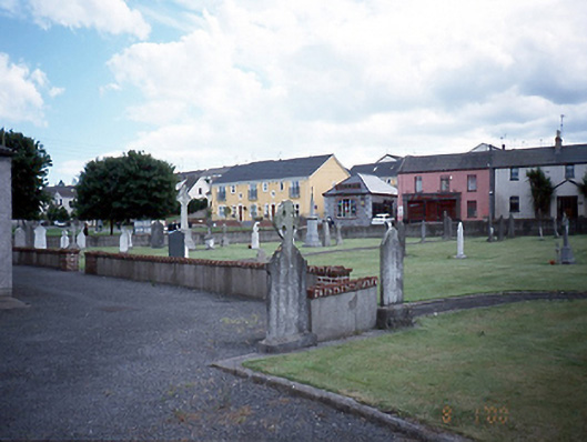 graveyard/cemeterygraveyard/cemetery · 599 yd
 The Red HouseMemorial · 740 yd
 Old Post OfficeMemorial · 793 yd
 TowerCastle, tower house · 836 yd
 Reilly's HillWood · 1723 yd
 Newbridge House and DemesneHeritage attraction · 1724 yd
 Tourist InformationVisitor information · 1.1 mi
 Donabate BeachBeach / strand · 1.3 mi
 Lanestown Castle in ruinsCastle, tower house · 1.4 mi
Other information
Photo: Credit not shown in the picture search · Rights wording not checked; contact us if this picture should be removed