What is recorded here
That is the place in Cooracurkia. It is a shallow D-shaped depression, roughly centrally located inside a possible rath. Local belief calls it the blocked entrance to a cave, suggesting people once cut or cleared a passage beneath the mound. The chamber may have stored grain, hidden people or simply let the owner escape rain and heat. Whatever it did, the earth closed the mouth while the purpose faded from memory.
Roughly centrally located in the interior of a possible rath (GA098-080----). A shallow D-shaped depression (L 4.3m; Wth 3.5m) is locally believed to be the blocked-up entrance to a 'cave' (possible Man-made underground passage).
Compiled by: Galway Archaeological Survey, UCG
Date of upload: 22 February 2019
The monument record does not grant public access. Check the route and ask the landowner before entering private land.
- What survives
- Recorded monument
Places near here
 CrossCross · 1258 yd
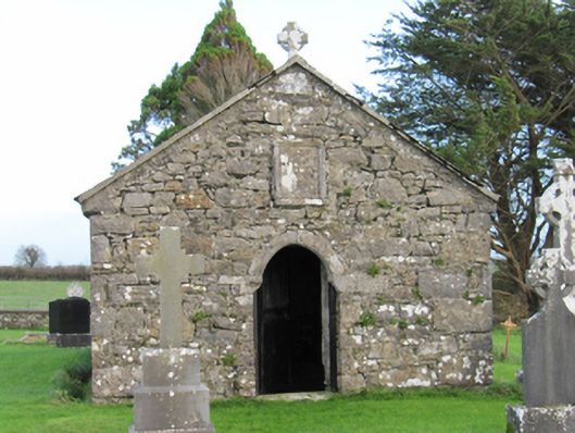 Finnure Catholic Chapelchurch/chapel · 1492 yd
 CaveMan-made underground passage · 1495 yd
 Old ChapelChurch · 1502 yd
 Dartfield Horse MuseumHeritage attraction · 1.7 mi
 Drought Castle (in Ruins)Castle, tower house · 2.0 mi
 Kilcooly Castle (in ruins)Castle, tower house · 2.1 mi
 Quarryhill WoodWood · 6.6 mi
 Battle of AughrimMajor battlefield · 7.1 mi
 Bog WoodForest · 7.1 mi
 The bloody HollowHeritage attraction · 7.2 mi
 Battle of Aughrim Interpretative CentreMuseum · 7.3 mi