What is recorded here
Beneath a ruined hut on the Iveragh peninsula, a narrow stone passage cuts four and a half metres into the earth, its corbelled walls leaning toward a lintelled roof. Limpet shells that fell through the hut floor above have dated the occupation to roughly 930 years before 1950. Westropp misread the remains as a fort, but the truth is smaller and stranger: a dark tube where people lived, buried debris, and disappeared into the western soil.
Though described by Westropp as a 'fort' (1912, 298), the present remains are those of a ruined hut and a stone-built Man-made underground passage.
An opening to the Man-made underground passage is located in the N face of the revetted scarp, and gives access to a drystone passage which extends SW for a distance of 4.5m to a point beneath the hut KE078-018----. The passage measures .95m high and .95m wide and its walls corbel slightly towards the lintelled roof. Limpet shells and other debris, which apparently fell through from the floor of the hut into the passage below, yielded a radiocarbon date of 930±80 BP (Mitchell 1989, 41).
The above description is derived from A. O'Sullivan and J. Sheehan (compilers), 'The Iveragh peninsula: an archaeological survey of South Kerry'. Cork University Press (1996), no. 1208. In certain instances the entries have been revised and updated in the light of recent research.
Date of upload: 31 July 2013
The monument record does not grant public access. Check the route and ask the landowner before entering private land.
- What survives
- Recorded monument
Places near here
 Promontory fortPromontory fort, coastal · 273 yd
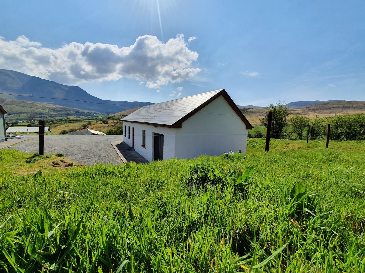 Hut site in Coarha MoreHut site · 295 yd
 Culloo RockViewpoint · 659 yd
 RoadRoad, road/trackway · 1354 yd
 ValentiaIsland · 1.2 mi
 Telegraph Field Valentia IslandMemorial · 1.3 mi
 Cromwell's FortRuins · 1.5 mi
 Fogher CliffCliff · 1.5 mi
 Skellig Experience CentreMuseum · 1.7 mi
 GeokaunMountain / peak · 1.8 mi
 The GrottoCave · 2.0 mi
 Horse IslandIslet · 2.1 mi