
What is recorded here
Dundagallan/Dún Dá Ghallán is the name locally given to the long, narrow promontory located on the sheer cliffs on the N side of Valencia Island, a short distance WSW of KE078-014----. It projects 60m ENE, and is 12m in maximum width. It is isolated from the mainland by a much collapsed stony bank and by an external, rock-cut fosse, occurring at the narrowest point of the promontory. The entrance in the stone bank, marked by two conspicuous portals, is approached across a 2m wide causeway. The section of the fosse that extends from the SE cliff-edge measures 3.7m long, 3.1m wide and reaches a maximum depth of 1m. There is no trace of the holed stone that Westropp (1912, 305) recorded as lying in its base; it measured 5 feet (1.52m) long, 27 inches (.68m) wide and 6 inches (.15m) thick, and featured a perforation, 4 inches (.1m) in diameter, at one end. Extending inwards from the NW cliff-edge, the second, less clearly defined, section of fosse measures 2.5m long, 2.4m wide and .6m deep. The upright portals located on the outer side of the bank are probably the remnants of an elaborate entrance feature. They occur .9m apart, with their long axes set at right angles to the line of the defences. The slab at S measures 1.97m high, .55m wide and .16m thick; the second stands 1.68m high and measures .58m x .19m at base. The grass-grown, stony bank survives to a maximum height of 1m and has an average basal width of 5m. The level interior of the fort is featureless.
The above description is derived from A. O'Sullivan and J. Sheehan (compilers), 'The Iveragh peninsula: an archaeological survey of South Kerry'. Cork University Press (1996), no. 446. In certain instances the entries have been revised and updated in the light of recent research.
Date of upload: 30 July 2013
This remains an important historical record, but the official description says the monument is no longer visible or has been destroyed. The monument record does not grant public access. Check the route and ask the landowner before entering private land.
- What survives
- No visible remains or recorded as destroyed
Places near here
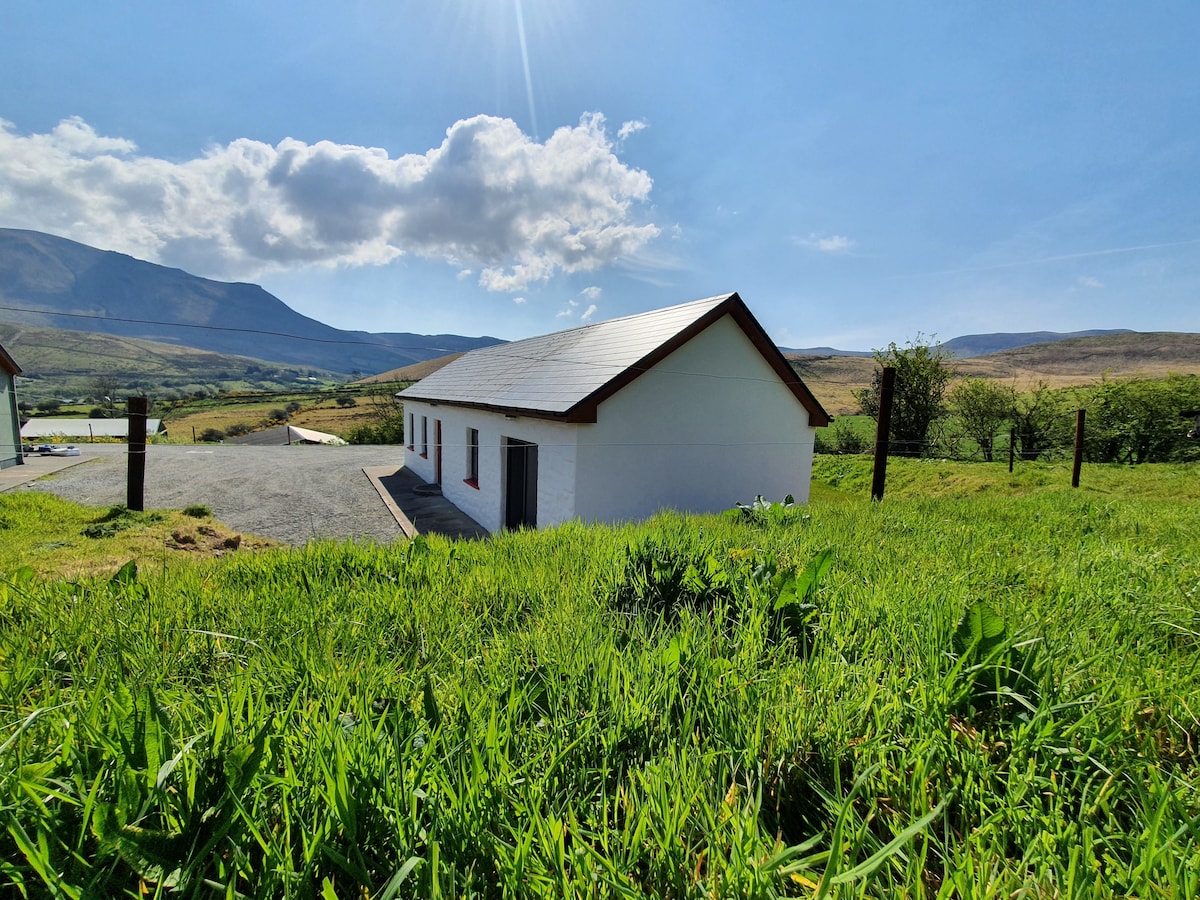 Hut site in Coarha MoreHut site · 394 yd
 Hut site in Cool EastHut site · 453 yd
 Culloo RockViewpoint · 588 yd
 RoadRoad, road/trackway · 1535 yd
 ValentiaIsland · 1.2 mi
 Telegraph Field Valentia IslandMemorial · 1.4 mi
 Fogher CliffCliff · 1.4 mi
 Cromwell's FortRuins · 1.6 mi
 GeokaunMountain / peak · 1.7 mi
 Skellig Experience CentreMuseum · 1.8 mi
 The GrottoCave · 1.9 mi
 Bray HeadMountain / peak · 2.2 mi
Other information
Photo: Credit not shown in the picture search · Rights wording not checked; contact us if this picture should be removed