What is recorded here
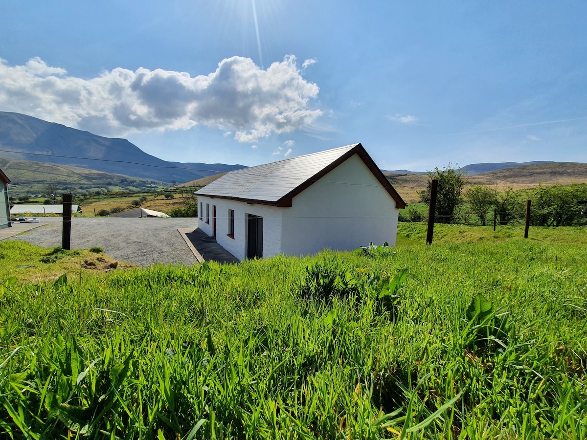
Three huts and a buried mound still mark a small field system on a low rise above Coosatorinth, Valencia Island. They may date from the Early Medieval period, when people lived there through rain, heat and ordinary days. The peat has softened their edges, but the slabs and ridges remain clear enough to imagine a household working the land beside the sea.
On a low rise with a thin covering of peat, immediately SW of Coosatorinth, Valencia Island. The ruins of at least three huts occur within an old field system which occupies an area with a radius of about 100m. Mitchell postulates an Early Medieval date for the cluster (1989, 69).
(2) KE078-025001-; At the SE end of the complex, the ruined remains of a circular hut foundation defined by upright slabs. D: 3.1m. Located immediately NE is a low sod-covered mound with erect slabs at its centre.
The above description is derived from A. O'Sullivan and J. Sheehan (compilers), 'The Iveragh peninsula: an archaeological survey of South Kerry'. Cork University Press (1996), no. 1200. In certain instances the entries have been revised and updated in the light of recent research.
Date of upload: 31 July 2013
The monument record does not grant public access. Check the route and ask the landowner before entering private land.
- What survives
- Recorded monument
Places near here
 Promontory fortPromontory fort, coastal · 394 yd
 Culloo RockViewpoint · 410 yd
 Fulacht fia in Coarha MoreFulacht fia · 685 yd
 RoadRoad, road/trackway · 803 yd
 Telegraph Field Valentia IslandMemorial · 1.3 mi
 ValentiaIsland · 1.3 mi
 Cromwell's FortRuins · 1.5 mi
 Fogher CliffCliff · 1.7 mi
 Skellig Experience CentreMuseum · 1.8 mi
 GeokaunMountain / peak · 1.9 mi
 Bray HeadMountain / peak · 2.0 mi
 Horse IslandIslet · 2.0 mi
Other information
Photo: Credit not shown in the picture search · Rights wording not checked; contact us if this picture should be removed