What is recorded here
Under the lower slopes of Cummeen mountain, a narrow drystone passage cuts through the earth, barely deep enough for a kneeling adult at first but dropping sharply at its southern end. It is the kind of hole people make when they stop trusting the sky, perhaps to hide bread, children or themselves during a bad season. The stone wall still stands, though distance and darkness have taken the rest.
Caherbaun/An Chathair Bhán: Situated on the lower NW slopes of Cummeen mountain overlooking the valley of the Owencashla river.
Souterrain KE036-022006- consists of a drystone-walled passage extending N-S for a visible distance of 1.4m; probing with a ranging rod showed that it continues S for a further 1m before being blocked. It is .7m wide and .3m deep but deepens rapidly at its S end.
The above description is derived from J. Cuppage, ‘Corca Dhuibhne. Dingle Peninsula archaeological survey. Ballyferriter. Oidhreacht Chorca Dhuibhne’ (1986), no. 577. In certain instances the entries have been revised and updated in the light of recent research.
Date of upload: 7 August 2013
The monument record does not grant public access. Check the route and ask the landowner before entering private land.
- What survives
- Recorded monument
Places near here
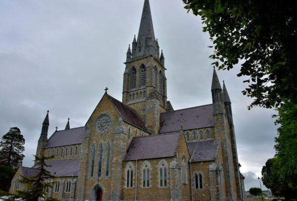 Church in Coill Bhaile Uí FhlaithimhChurch · 202 yd
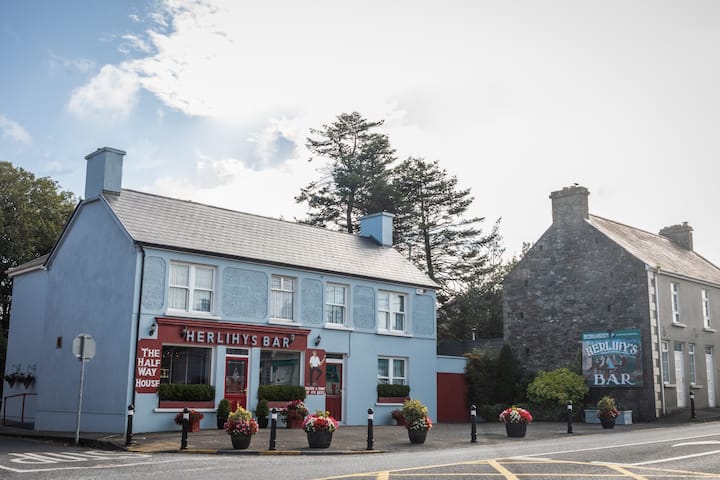 Fulacht fia in Coill Bhaile Uí FhlaithimhFulacht fia · 228 yd
 Church in Arraglen (corkaguiny By., Castlegregory Ed),killiney,tullig (corkaguiny By., Castlegregory Ed)Church · 1243 yd
 Hut site in Duagh (corkaguiny By.)Hut site · 1257 yd
 CarrigadavMountain / peak · 1.1 mi
 CummeenMountain / peak · 1.2 mi
 Glanteenassig Forest ParkForest · 2.5 mi
 Site of CastleCastle, unclassified · 2.8 mi
 IndicatedCastle, tower house · 2.9 mi
 Graveyard in Baile An Chnocáin (tc An Cnoc Glas)Graveyard · 3.1 mi
 Faisr's GraveArchaeological place · 3.5 mi
 Sandy Bay BeachBeach / strand · 4.4 mi