What is recorded here
Within the WNW sector of a cashel (GA128-035----). This largely collapsed drystone-built Man-made underground passage (L >18.2m) is L-shaped in plan. The shorter axis (L 8m; Wth 1.2m; max. H 0.7) runs E-W and the longer axis (L 10.2m; Wth 2.2m; max. H 0.6) extends from its NW end and runs N-S. Access is gained at the E end.
Compiled by: Galway Archaeological Survey, UCG
Date of upload: 29 November 2017
The monument record does not grant public access. Check the route and ask the landowner before entering private land.
- What survives
- Recorded monument
Places near here
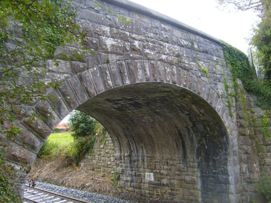 bridgebridge · 244 yd
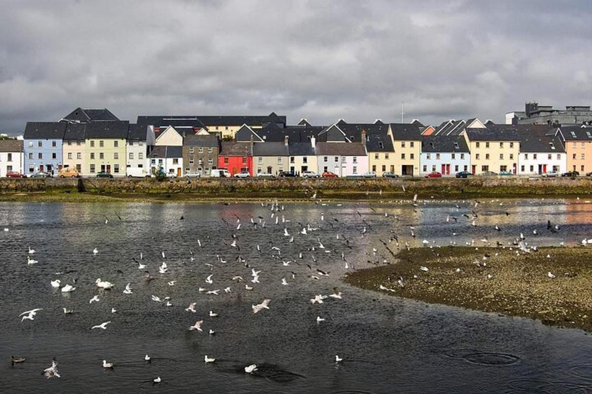 IndicatedFairy fort / earthen ringfort · 925 yd
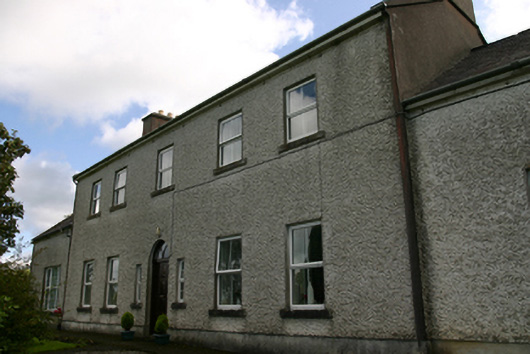 Prospect Housecountry house · 1095 yd
 Man-made underground passage in Ballybaun (kiltartan By.)Man-made underground passage · 1355 yd
 Cavalry Bks on Site of Gort CastleCastle, unclassified · 1.3 mi
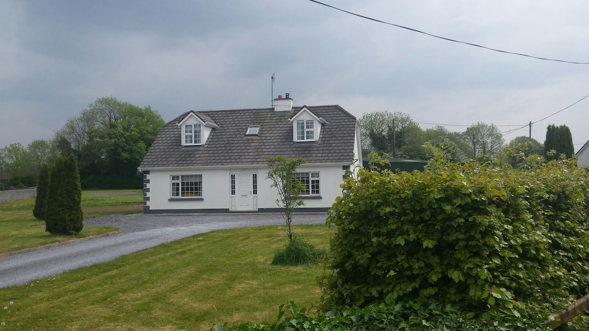 Bawn in Castlequarter (kiltartan By.)Bawn · 1.8 mi
 Keaghery IslandWood · 1.9 mi
 Castle IslandIsland · 1.9 mi
 Apple IslandWood · 2.1 mi
 Swan IslandIsland · 2.1 mi
 Kilmacduagh Monastic SiteVisitor information · 2.5 mi
 Kilmacduagh MonasteryHeritage attraction · 2.5 mi