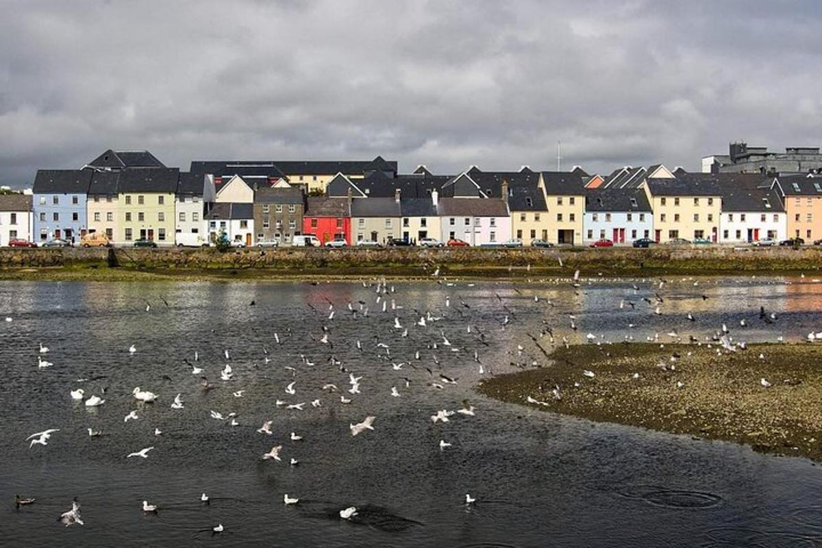
What is recorded here
On the E-facing slope of a ridge, formerly part of the Gort golf course. Marked on the OS 6-inch maps as a circular enclosure (diam. c. 40m). When inspected in July 1982 the arc of an earthen bank was visible from ENE through S to WNW. The area was subsequently landscaped c. 1985 and an embanked green stood on the site of the rath.
Compiled by: Galway Archaeological Survey, UCG
Date of upload: 10 April 2019
The monument record does not grant public access. Check the route and ask the landowner before entering private land.
- What survives
- Recorded monument
Places near here
 Man-made underground passage in Ballybaun (kiltartan By.)Man-made underground passage · 750 yd
 CaveMan-made underground passage · 1017 yd
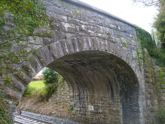 bridgebridge · 1149 yd
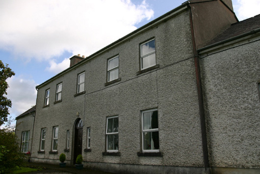 Prospect Housecountry house · 1693 yd
 Bawn in Castlequarter (kiltartan By.)Bawn · 1.7 mi
 Cavalry Bks on Site of Gort CastleCastle, unclassified · 1.8 mi
 Kilmacduagh MonasteryHeritage attraction · 2.1 mi
 Kilmacduagh Monastic SiteVisitor information · 2.1 mi
 Keaghery IslandWood · 2.1 mi
 Swan IslandIsland · 2.2 mi
 Apple IslandWood · 2.2 mi
 Castle IslandIsland · 2.2 mi
Other information
Photo: Credit not shown in the picture search · Rights wording not checked; contact us if this picture should be removed