What is recorded here
Situated on the NE side of a low ridge in undulating pasture. Wood-Martin (1882, 113-4) recorded a 'subterranean chamber, with several smaller chambers off'. Two adjacent passages have been identified. Both are walled with drystone masonry and roofed with massive lintels. The first (visible L 5-6m; Wth 1.25m; H 0.8m) is aligned E-W and appears to terminate at a wall at its E end. At its W end, at surface level, an area of surface subsidence (L c. 6m N-S; Wth 2.4m) hints that a subsidary passage may extending N at right angles from the main passage. The second passage, which is located a short distance E of the first, is also aligned E-W. At its E end is an area of collapse (L 2m E-W) which opens into a small passage (L c. 3m E-W; Wth c. 1m) that terminates at a stone wall at its W end. There is no obvious link between the two passages but, given their proximity and alignment, it is probable that they are part of the same structure.
Compiled by: Patrick F. O'Donovan
Date of upload: 19 January 2011
The monument record does not grant public access. Check the route and ask the landowner before entering private land.
- What survives
- Recorded monument
Places near here
 Patricks WellHoly well · 248 yd
 Enclosure in LackanEnclosure · 417 yd
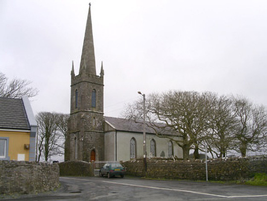 Kilglass Churchchurch/chapel · 713 yd
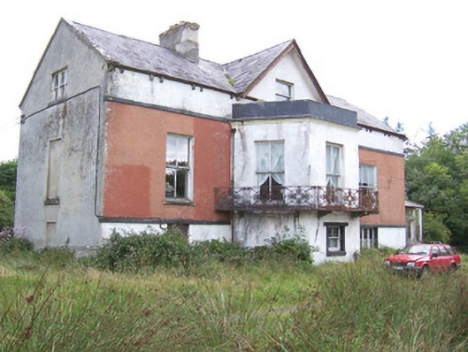 Kilglass Househouse · 1007 yd
 Castle FirbisCastle, tower house · 1319 yd
 Wild Atlantic Way: Inishcrone PierVisitor information · 1.3 mi
 Grave of the Black PigArchaeological place · 2.3 mi
 Enniscrone BeachBeach / strand · 2.3 mi
 The Black PigMemorial · 2.4 mi
 Rathlee HeadHeadland · 3.4 mi
 Horse IslandIslet · 3.8 mi
 Bartragh IslandIsland · 4.2 mi