What is recorded here
Clogharoasty holds an L-shaped underground passage beside a rath, its long arm reaching seven metres north-south before bending east. Drystone walls still appear in patches, suggesting people built a controlled route through solid ground rather than leaving a hole for chance. The sharp angle and separate eastern ditch imply a threshold, perhaps for water, trade or ritual memory.
Located within the NW quadrant of a rath (GA106-050----), this Man-made underground passage is indicated by an L-shaped depression (L >12.9m), the long axis (L 7.2m; Wth 1.2m) of which runs N-S. The short axis (L 5.7m) extends from its NE end and runs E-W. Traces of drystone-walling are visible intermittently. A linear depression (L 4.8m Wth 1.5m) 1m further to the E is probably associated.
Compiled by: Galway Archaeological Survey, UCG
Date of upload: 27 November 2017
The monument record does not grant public access. Check the route and ask the landowner before entering private land.
- What survives
- Recorded monument
Places near here
 Enclosure in Clogharoasty,kilcoolyEnclosure · 53 yd
 Quarry in Carrowmore (bracklagh Ed )Quarry · 1561 yd
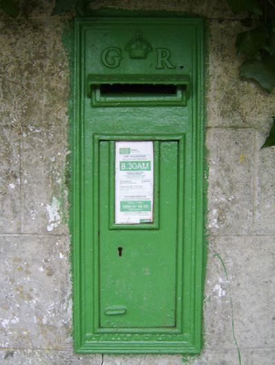 post boxpost box · 1565 yd
 Enclosure in KilcoolyEnclosure · 1719 yd
 Kilcooly Castle (in ruins)Castle, tower house · 1.2 mi
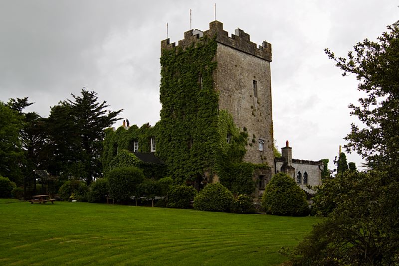 CastleCastle, unclassified · 1.3 mi
 Dartfield Horse MuseumHeritage attraction · 3.1 mi
 Quarryhill WoodWood · 4.5 mi
 Stone Islands SouthIslet · 4.8 mi
 Long PointHeadland · 4.9 mi
 Bog WoodForest · 5.0 mi
 Turoe StoneHeritage attraction · 6.8 mi