What is recorded here
Situated towards the SE end of a NW-SE drumlin ridge. Running SSW from the centre of rath (MO019-009----) is a grass-covered depression (dims 11.6m NNE-SSW; 5.7m WNW-ESE; max. D 1.35m) with a spur (dims WNW-ESE 4.3m; 4.4m NNE-SSW; max. D 0.8m) off its W side. This could be a destroyed Man-made underground passage, although there is no evidence of stone.
Compiled by :Michael Moore
Date of upload: 22 June 2018
The monument record does not grant public access. Check the route and ask the landowner before entering private land.
- What survives
- Recorded monument
Places near here
 Michael MooreFairy fort / earthen ringfort · 8 yd
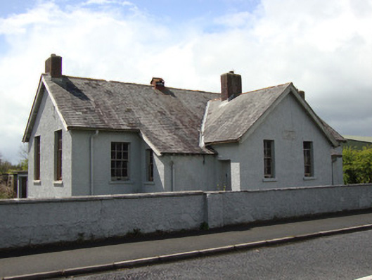 Annyalla National Schoolschool · 707 yd
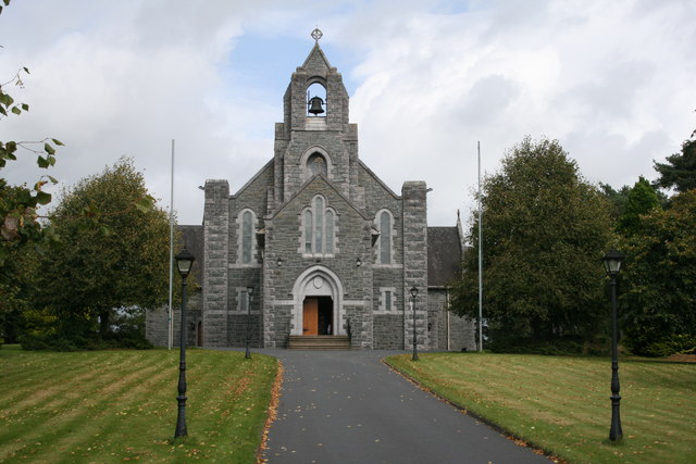 Saint Michael's Catholic Churchchurch/chapel · 871 yd
 Giants GraveMegalithic tomb · 924 yd
 John Francis GreenMemorial · 3.4 mi
 The CrescentMemorial · 3.6 mi
 Fort HillWood · 3.6 mi
 Monaghan WayWalking route · 3.6 mi
 Battle of ClontibretBattlefield · 3.7 mi
 Bawn in OnomyBawn · 4.1 mi
 Blaney CastleCastle · 4.1 mi
 Harper's IslandIslet · 4.2 mi