What is recorded here
A lintelled opening, 1.07m high by .87m wide, is located in the external face of the caher wall at S, 1.6m above the base of the outcrop. It leads into a lintelled stone-built passage which extends to NE for at least 2m before turning to NW, where Lynch noted that it rose to the interior of the site (1902b, 328-9). Access beyond the bend is no longer possible, and an opening to this Man-made underground passage could not be identified in the caher's interior.
The above description is derived from A. O'Sullivan and J. Sheehan (compilers), 'The Iveragh peninsula: an archaeological survey of South Kerry'. Cork University Press (1996), no. 597. In certain instances the entries have been revised and updated in the light of recent research.
Date of upload: 29 July 2013
The monument record does not grant public access. Check the route and ask the landowner before entering private land.
- What survives
- Recorded monument
Places near here
 IndicatedFairy fort / stone ringfort · 9 yd
 Cuas na LéimeCave · 596 yd
 Calluragh Grave Yard, CaherChurch · 696 yd
 Cíl RialaighRuins · 710 yd
 Ceanna an AonaighNamed rock · 843 yd
 Cuas a' Daimh /Ox Cove.Bay · 1402 yd
 Poll na TóirníCave · 1472 yd
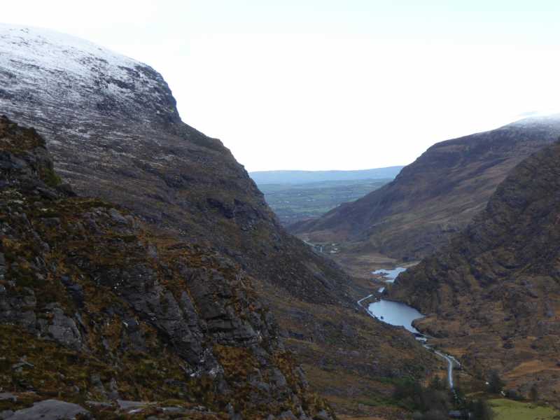 Cnoc Ceannúch (Canuig Mountain)Mountain / peak · 1538 yd
 Galláin/ Standing Stones.Archaeological place · 1579 yd
 Trá PhraisceBeach / strand · 1.0 mi
 Bogha SínMountain / peak · 1.5 mi
 Liberator "63939" monumentMemorial · 1.6 mi