What is recorded here
Under the Christianstown ringfort, a man-made passage still hides. Built before memory, it may have stored grain, hidden people or simply bent the world downward. The floor has closed, but the shape remains. Forgetting is only the first layer of soil.
The following description is derived from both the published 'Archaeological Inventory of County Louth' (Dublin: Stationery Office, 1986) and the 'Archaeological Survey of County Louth' (Dublin: Stationery Office, 1991). In certain instances the entries have been revised and updated in the light of recent research.
Date of upload/revision: 17 July 2007
'Cave' shown on 1835 ed. of OS 6-inch map in the interior of ringfort (LH011-095001-). Now inaccessible.
The monument record does not grant public access. Check the route and ask the landowner before entering private land.
- What survives
- Recorded monument
Places near here
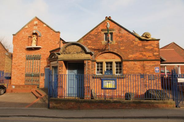 Enclosure in ChristianstownEnclosure · 722 yd
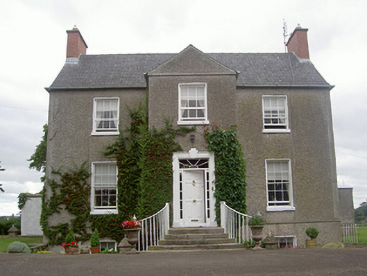 The Old Rectoryrectory/glebe/vicarage/curate's house · 1060 yd
 IndicatedGraveyard · 1175 yd
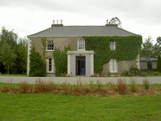 Kilincoole Househouse · 1669 yd
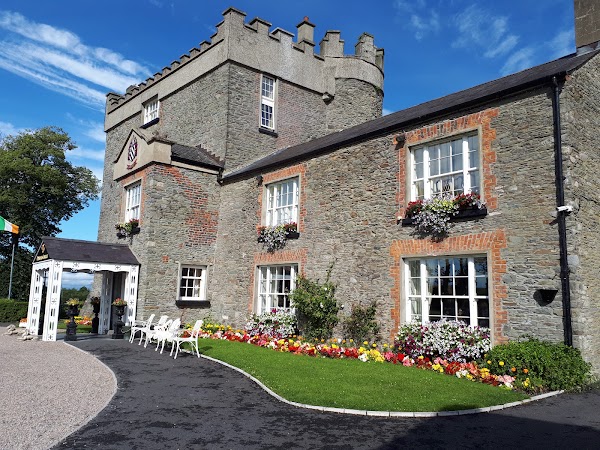 Darver CastleCastle · 1687 yd
 CastleCastle, tower house · 1715 yd
 Rabbit BurrowWood · 2.0 mi
:no_upscale()/cdn.vox-cdn.com/uploads/chorus_asset/file/25593391/County_Louth_6th.jpg) LouthMountain / peak · 2.2 mi
LouthMountain / peak · 2.2 mi Long WoodForest · 4.1 mi
 Drummeenagh HillMountain / peak · 4.1 mi
 Graveyard in StickillinGraveyard · 4.9 mi
 Graveyard in Richardstown (ardee By., Richardstown Par.)Graveyard · 5.1 mi