What is recorded here
Ten years after a levelling machine broke through its roof in 1962, excavators revealed a rectangular stone chamber hidden beneath the Castlemagner ringfort. The cramped space contained a sloping ventilation shaft and a creepway leading to an entrance pit that had been dumped full of animal bones and charcoal. People may have stored food, hidden treasure or simply breathed underground air before abandoning the passage while the fort above still stood.
In centre of levelled ringfort (CO024-10601-). Discovered in 1962 during levelling of fort when roof of chamber was penetrated. Excavated in 1972 prior to backfilling (Twohig 1976, 19-23); access gained through opening made in 1962. Single, roughly rectangular stone-built chamber (L 3.6m; Wth 1.5m; H 1.4m; long axis E-W); walls corbelled; roofed with lintels. Ventilation shaft (L 1.9m; Wth 0.3m; H 0.2m) sloped up from NW corner of chamber, at roof level, to surface; stone-lined and roofed with flat stones. Creepway (L 1m; Wth 0.5m; H 0.4m) from E end of chamber to entrance shaft; stone-faced; roofed with two lintels. Rectangular entrance shaft (L 2m; Wth 0.5m; long axis NW-SE); floor 2.2m below ground level; lower 1.1m of walls stone-built; upper parts earth-cut; unroofed. Excavation showed that Man-made underground passage was constructed as free-standing structure within rectangular pit (L 6.5m; Wth 2.5m; D 2.5m). Space between Man-made underground passage and sides of pit was later backfilled. Fill from excavation of entrance shaft produced large quantity of animal bones and charcoal. Excavator suggested that Man-made underground passage became disused and was infilled while ringfort was still occupied though exact relationship between Man-made underground passage and ringfort could not be determined without further excavation. Shallow trench (Wth 0.2m; D 0.3m) overlying fill of entrance shaft was excavated for a distance of 2m. Excavator suggested that this may be foundation trench of house. No visible surface trace.
The above description is derived from the published 'Archaeological Inventory of County Cork. Volume 4: North Cork' (Dublin: Stationery Office, 2000). In certain instances the entries have been revised and updated in the light of recent research.
Date of upload/revision: 14 January 2009
The monument record does not grant public access. Check the route and ask the landowner before entering private land.
- What survives
- Recorded monument
Places near here
 Field system in CastlemagnerField system · 104 yd
 Enclosure in CastlemagnerEnclosure · 111 yd
 Pump HoPump-house · 544 yd
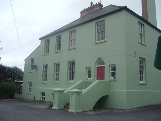 The Old Rectoryrectory/glebe/vicarage/curate's house · 638 yd
 Castle Magner (in Ruins)Bawn · 768 yd
 European YewEuropean Yew · 1398 yd
 Graveyard in Ballygiblin (duhallow By.)Graveyard · 1712 yd
 Burial ground in AssolasBurial ground · 1.0 mi
 Ballyheen Castle (Site of)Castle, unclassified · 1.4 mi
 St Fursey's WellSpring · 3.2 mi
 Kanturk CastleHeritage attraction · 3.6 mi
 Hanna SheehyMemorial · 3.8 mi