What is recorded here
At the centre of the interior of a cashel (SL021-022001-) and within a centrally placed hut site (SL021-022003-), is a rectangular depression (L c. 6m NNW-SSE; Wth at top c. 3m; Wth at base 1.7m; D 0.6m). At the N end of the depression a possible filled-in passage is visible as a stone-edged path (Wth 1m) which follows a meandering course across the interior of the cashel to a break (Wth 1m) in the perimeter of the enclosing wall.
The above description is derived from the published 'Archaeological Inventory of County Sligo' compiled by Ursula Egan, Elizabeth Byrne, Mary Sleeman with Sheila Ronan and Connie Murphy (Dublin Stationery Office, 2005).
Date of upload: 18 January 2008
The monument record does not grant public access. Check the route and ask the landowner before entering private land.
- What survives
- Recorded monument
Places near here
 Ritual siteRitual site, holy/saint's stone · 511 yd
 Lissacargy FortFairy fort / stone ringfort · 875 yd
 Drumcondra Castle (in Ruins)Castle, tower house · 1148 yd
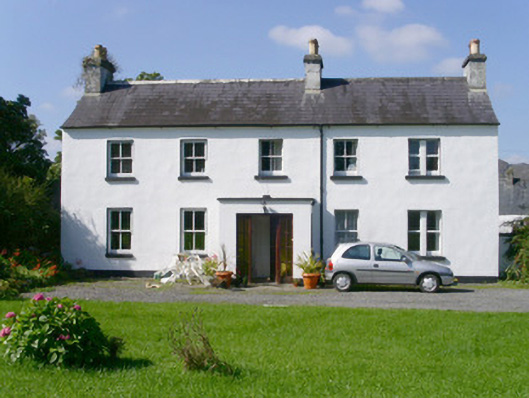 Arnasbrack Househouse · 1.1 mi
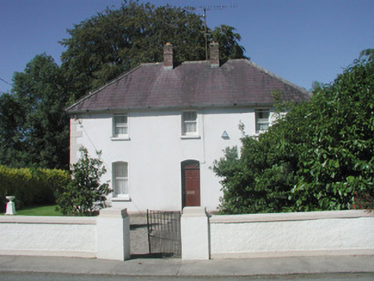 The Presbyterypresbytery/parochial/curate's house · 1.1 mi
 Castle (in Ruins)Castle, tower house · 1.3 mi
 Giants GraveArchaeological place · 1.4 mi
 SlishwoodWood · 1.6 mi
 Slishwood Island WestIslet · 2.1 mi
 Bunowen BayBay · 2.2 mi
 Slishwood Island EastIslet · 2.3 mi
 Aghamore BayBay · 3.0 mi