What is recorded here
West of the rath in Carrownoona, a narrow stone throat stretches four and a half metres into the earth. Its walls rise only twenty centimetres above the soil, yet that slender ridge still marks the deliberate shape of hands long gone. The passage may have breathed for people who moved through darkness before the rath became a ruin, or it may have drained rain from the mound. Either way, the ground kept the shape of human urgency.
The top of the side-walls of an underground passage (L 4.5m; Wth 1.1m; D 0.2m) oriented E-W is visible close to the perimeter of rath (LE003-00901--) at SW.
The above description is derived from 'The Archaeological Inventory of County Leitrim' compiled by Michael J. Moore (Dublin: Stationery Office, 2003). In certain instances the entries have been revised and updated in the light of recent research.
Date of upload: 23 September 2008
The monument record does not grant public access. Check the route and ask the landowner before entering private land.
- What survives
- Recorded monument
Places near here
 Sweat HouseSweathouse · 848 yd
 Church in Drummans (rosclogher By., Aghanlish Ed)Church · 849 yd
 Mass-rock in ShesknanMass-rock · 1027 yd
 TievebaunMountain / peak · 1.6 mi
 Eagle's RockMountain / peak · 1.8 mi
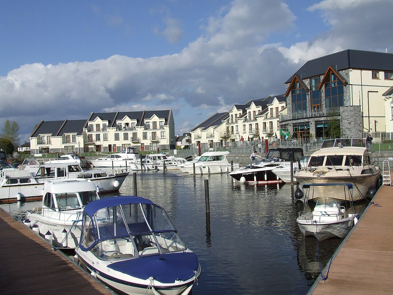 AghalateeveMountain / peak · 2.0 mi
 Cormac Reagh's HoleCave · 2.1 mi
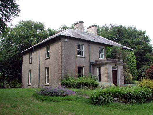 The Old Rectoryrectory/glebe/vicarage/curate's house · 3.0 mi
 Gleniff Horseshoe Drive 2Viewpoint · 3.4 mi
 Gleniff Horseshoe DriveViewpoint · 3.5 mi
 Doneen WestCliff · 3.8 mi
 Memorial Francis FinnMemorial · 3.9 mi