
What is recorded here
Carrignavar hides a man-made passage beneath the soil, linking a possible ringfort to another lios at Whitechurch. Local memory claims corn ripens early where the cave runs, as if underground breath still feeds the field above. The earth keeps the route secret from modern feet, but the changing season betrays its shape.
Associated with possible ringfort (CO052-026---). According to local information, "corn ripens early on the site of the cave" which leads from the fort towards another lios at Whitechurch (Cork Examiner, 1914). No visible surface trace.
The above description is derived from the published 'Archaeological Inventory of County Cork. Volume 2: East and South Cork' (Dublin: Stationery Office, 1994). In certain instances the entries have been revised and updated in the light of recent research.
Date of upload/revision: 14 January 2009
The monument record does not grant public access. Check the route and ask the landowner before entering private land.
- What survives
- Recorded monument
Places near here
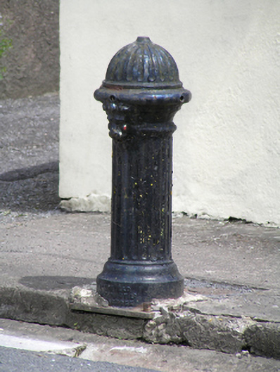 water pumpwater pump · 514 yd
 Church in CarrignavarChurch · 549 yd
 Castle (in Ruins)Castle, tower house · 844 yd
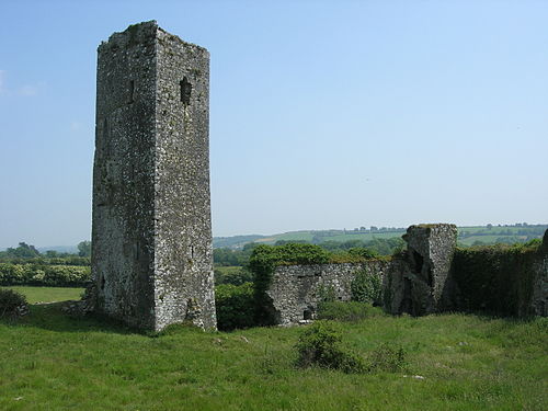 Man-made underground passage in GormleeMan-made underground passage · 1159 yd
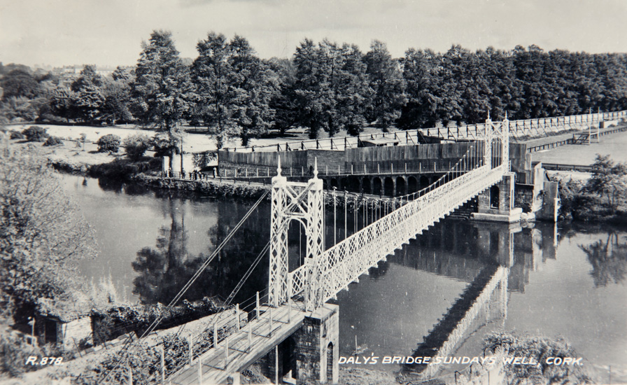 Sundays WellHoly well · 1308 yd
 Castle (Site of)Castle, unclassified · 1.7 mi
 Old Cemetery KilcullyMemorial · 3.7 mi
 Graveyard in KilmonaGraveyard · 3.8 mi
 Murphy's RockViewpoint · 4.3 mi
 Clogheenmilcon Nature Reserve Killeens EndPicnic place · 4.8 mi
 Waterloo Loop WalkWalking route · 5.1 mi
:BlarneyCastle,KinsaleCorkCityShoreTour-KlookIndia.jpg) Clogheenmilcon SanctuaryNature reserve · 5.1 mi
Clogheenmilcon SanctuaryNature reserve · 5.1 miOther information
Photo: Credit not shown in the picture search · Rights wording not checked; contact us if this picture should be removed