What is recorded here
Located in a coniferous forest on a S-facing slope of Carrig Hill and c. 200m N of an E-W stream. It is surrounded by a cairn (diam. 6m; H 0.25-0.6m) and visible on surface, with two clearance cairns in the vicinity. A length of passage (L 3.85m; Wth 0.6-0.85m) with two lintels in place is visible. It is situated c. 50m N of rath (WX001-005----).
The above description is derived from the published 'Archaeological Inventory of County Wexford' compiled by: Michael Moore (Dublin: Stationery Office, 1996). In certain instances the entries have been revised and updated in the light of recent research.
Compiled by: Michael Moore
Date of upload/revision: 21 October 2011
The monument record does not grant public access. Check the route and ask the landowner before entering private land.
- What survives
- Recorded monument
Places near here
 Embanked enclosureFairy fort / earthen ringfort · 76 yd
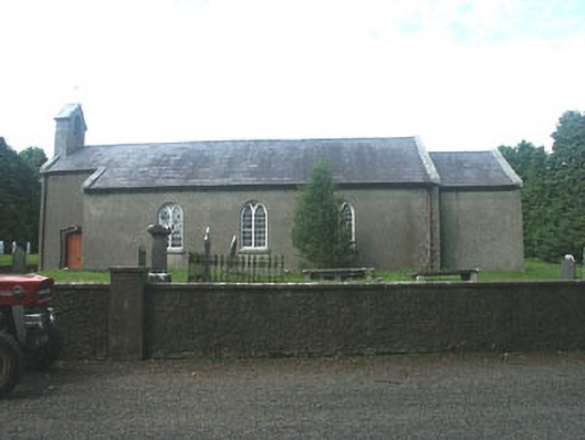 Kilpipe Churchchurch/chapel · 1641 yd
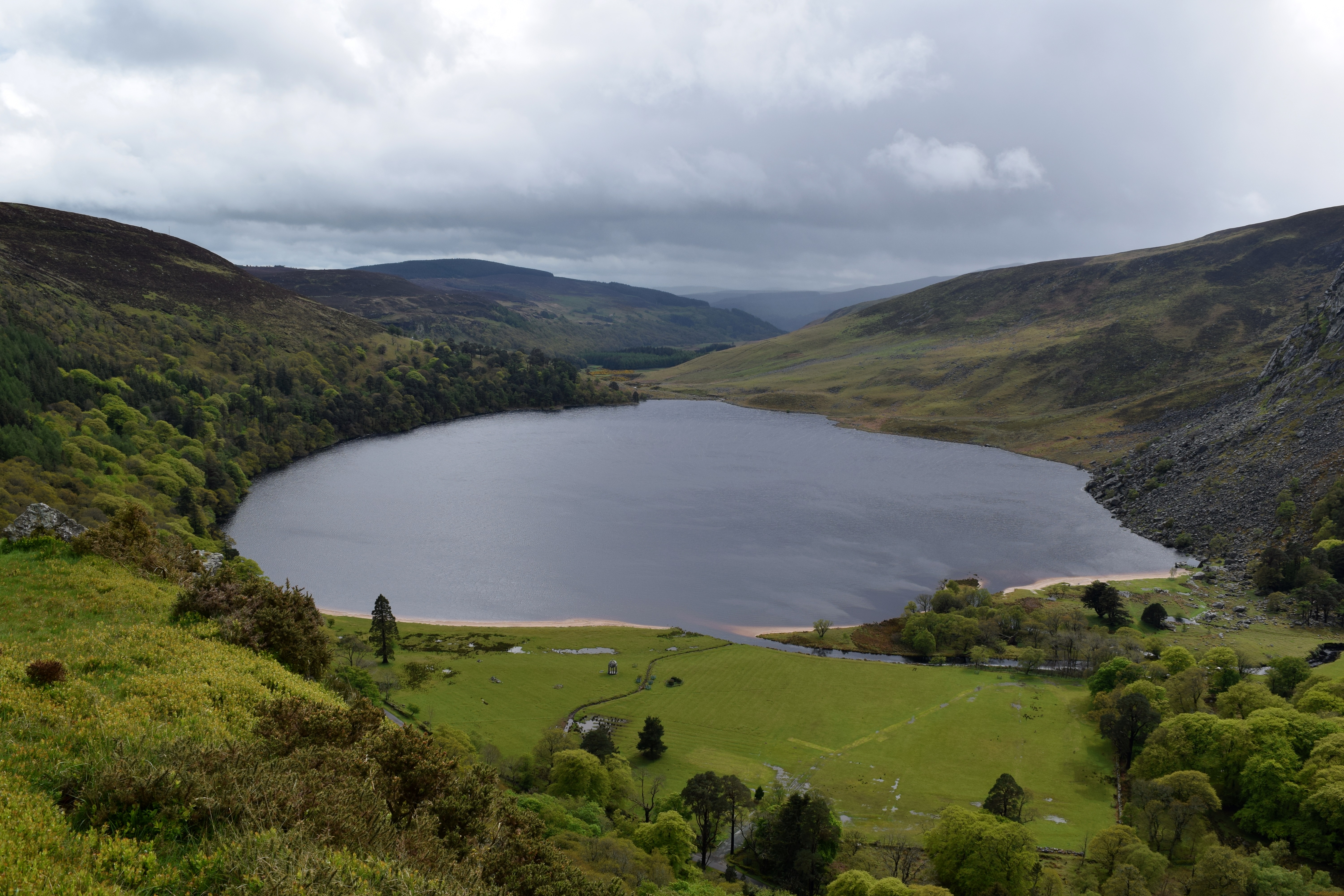 IndicatedEnclosure · 1.1 mi
 Ballythomas HillMountain / peak · 1.2 mi
 Monalee HillMountain / peak · 1.3 mi
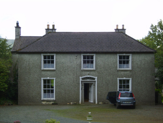 Wingfield Housefarm house · 1.7 mi
 1798 MemorialMemorial · 1.7 mi
 Raheenleagh ForestForest · 2.4 mi
 Coolalug WoodWood · 2.6 mi
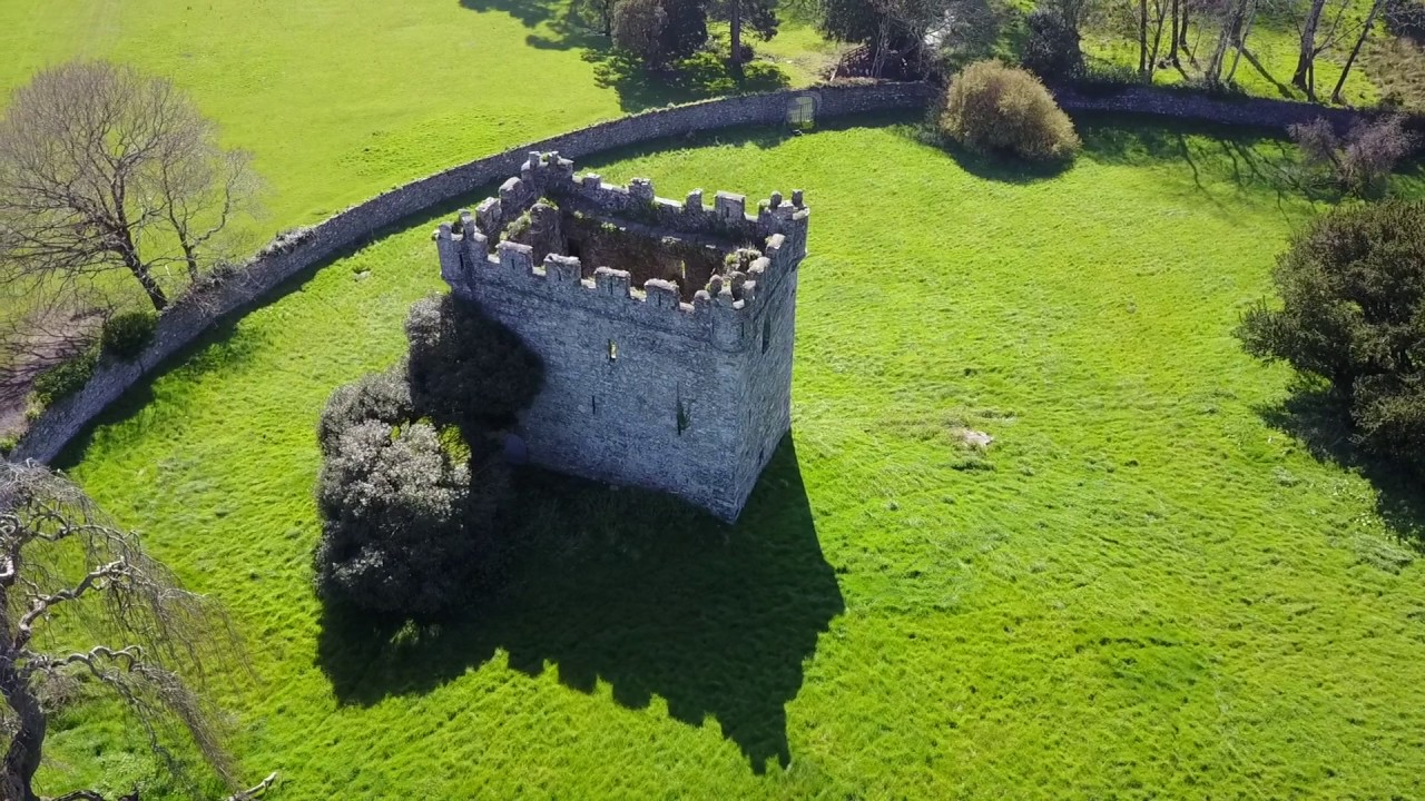 (Site of) Castle & RampartCastle, unclassified · 2.6 mi
 (Site of) Raymond CastleCastle, unclassified · 2.6 mi
 White Heaps 1798Memorial · 2.7 mi