What is recorded here
Situated in the SW quadrant of rath (ME015-002001-). A sunken grass-covered area (dims 12.5m NE-SW; 3.7m NW-SE; D 0.6m) that has some stones and also has a spur (L 4.6m) to the NW at its NE end may be the remains of a Man-made underground passage.
The above description is derived from the published 'Archaeological Inventory of County Meath' (Dublin: Stationery Office, 1987). In certain instances the entries have been revised and updated in the light of recent research.
Compiled by: Michael Moore
Date of revision: 8 January 2019
The monument record does not grant public access. Check the route and ask the landowner before entering private land.
- What survives
- Recorded monument
Places near here
 Cairn FArchaeological place · 740 yd
 C11Named rock · 777 yd
 RathFairy fort / earthen ringfort · 820 yd
 Carnbane WestMountain / peak · 828 yd
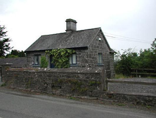 gate lodgegate lodge · 1018 yd
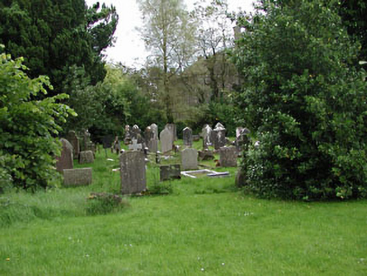 Saint Kaernan's Church (Loughcrew)graveyard/cemetery · 1092 yd
 CastleCastle, unclassified · 1110 yd
 LoughcrewMegalithic tomb cemetery · 1215 yd
 MoatCastle, motte · 1441 yd
 Common LimeCommon Lime · 1443 yd
 European YewEuropean Yew · 1464 yd
 Zip WireHeritage attraction · 1465 yd