What is recorded here
A platform, 11.5m square, is located on the N facing slope of Knocknaskereighta, overlooking Portmagee Channel to N. It rises 1.65m above ground level on its N side, where the blocked entrance to a drystone-built Man-made underground passage, not marked on the OS maps, occurs. A second opening is located at the S side of the platform, through which access is gained to a 2.5m long, E-W passage, .9m high and 1.15m wide. Midway along its N side-wall is a lintelled creepway, .55m x .55m, which leads into a passage that extends to N. Collapse prevented access beyond this point, but the blocked presence of the ope at the N side of the platform may indicate that the second passage is up to 9m long. The walls of both passages are carefully constructed with regularly coursed, flat slabs and are capped with large lintels.
The above description is derived from A. O'Sullivan and J. Sheehan (compilers), 'The Iveragh peninsula: an archaeological survey of South Kerry'. Cork University Press (1996), no. 856. In certain instances the entries have been revised and updated in the light of recent research.
Date of upload: 29 July 2013
The monument record does not grant public access. Check the route and ask the landowner before entering private land.
- What survives
- Recorded monument
Places near here
 SheepfoldHut site · 313 yd
 Man-made underground passage in EmlaghpeastiaMan-made underground passage · 1041 yd
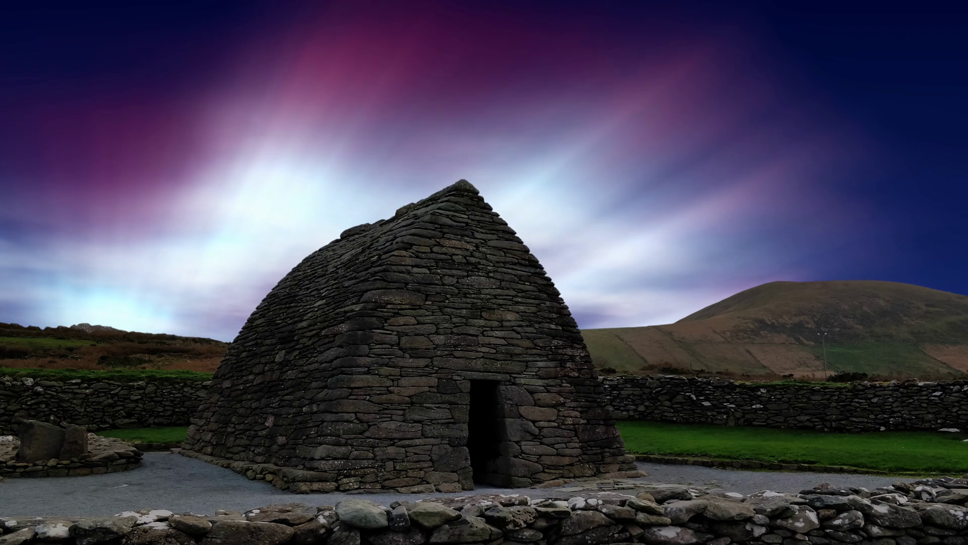 Oratory (in Ruins)Church · 1.6 mi
 Church in Tinnies Lower EastChurch · 2.0 mi
 Fermoyle Castle (in Ruins)Castle, tower house · 2.4 mi
 Kilbeg MountainMountain / peak · 2.7 mi
 Tráigh na CilleBeach / strand · 2.9 mi
 Skellig Experience CentreMuseum · 3.0 mi
 Cuas a' PhúcaCave · 3.0 mi
 Chilean myrtleChilean myrtle · 3.1 mi
 Cuas a 'ChapaillBay · 3.1 mi
 Carraig PhádraigCliff · 3.1 mi