What is recorded here
Caherpierce keeps a buried chamber beneath its kitchen garden, though no human hand has marked the entrance for decades. An Seabhac wrote of a lios and underground passage beside the cashel in 1939, yet Cuppage found only soil and growing food where the circular wall should have stood. The harbour light still falls across that slope, illuminating nothing but the possibility that people once cut through living rock and forgot to leave a door.
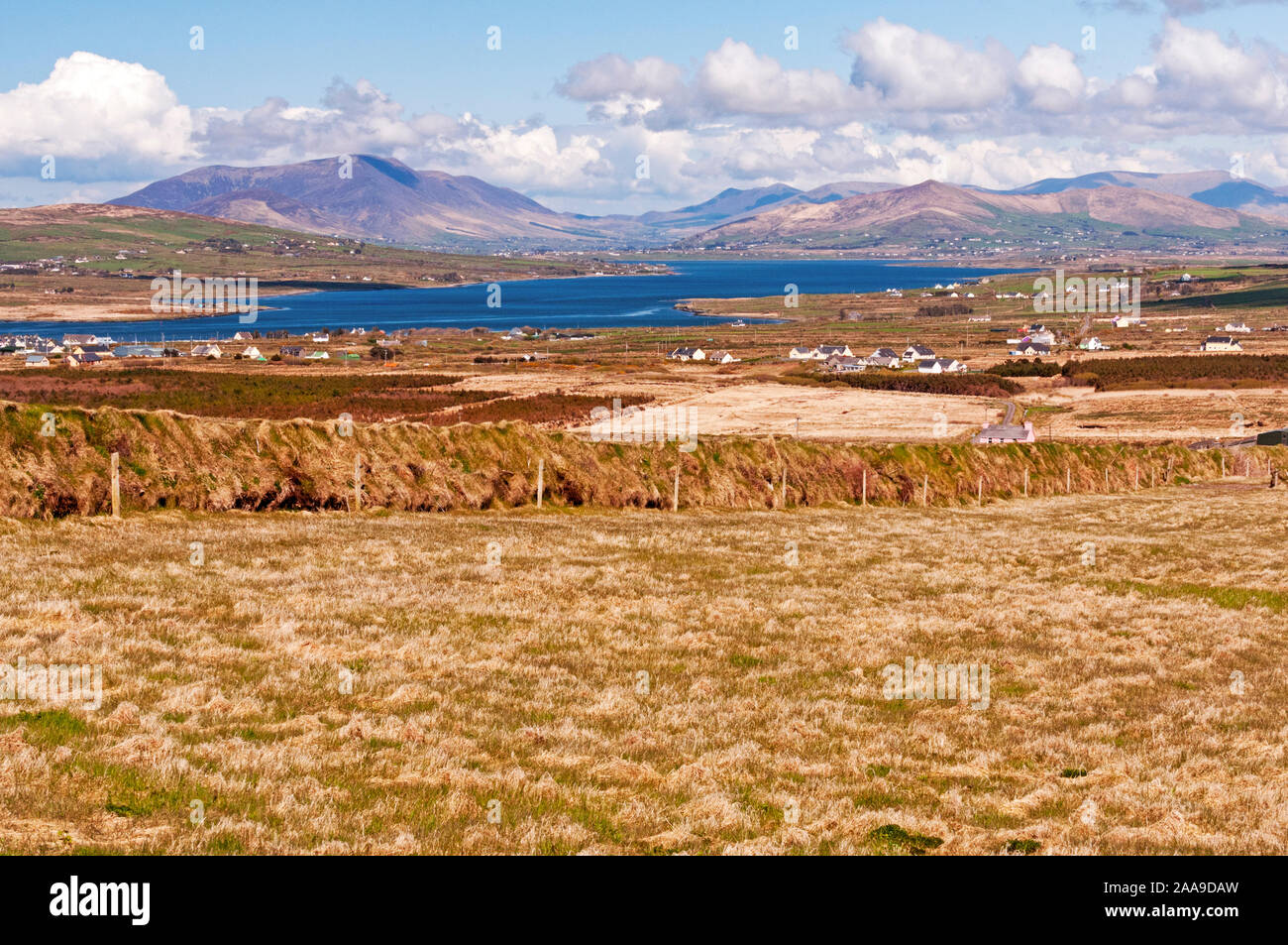
Unlocated possible Man-made underground passage described by Cuppage (1986, 220, no. 643) as follows; 'This site was described in the OSNB (Ballinvoher, 46) as a 'Caher' [KE045-115001-] having a circular wall round it', but no trace of it was to be seen at that time, the area being in use as a kitchen garden. An Seabhac (1939, 58) mentions a lios and reputed Man-made underground passage as well as the remains of the cashel, and this seems to suggest that there were 2 ringforts here. However, there are now no visible remains of either. The site is adjacent to the old clachan of Caherpierce, on a S facing slope overlooking Castlemaine Harbour'.
Compiled by: Caimin O'Brien
Date of upload: 7 April 2022
The monument record does not grant public access. Check the route and ask the landowner before entering private land.
- What survives
- Recorded monument
Places near here
 IndicatedHoly well · 430 yd
 Hut site in CaherpierceHut site · 803 yd
 BeenduffMountain / peak · 1161 yd
 KilnKiln, corn-drying · 1521 yd
 KnockmoreMountain / peak · 1657 yd
 Church in LackChurch · 1.1 mi
 Cromane PointHeadland · 1.9 mi
 Inch BeachBeach / strand · 2.9 mi
 Cromane BeachBeach / strand · 3.5 mi
 CastleCastle, unclassified · 3.7 mi
 Faisr's GraveArchaeological place · 3.8 mi
 Site of Camp CastleCastle, unclassified · 4.1 mi