What is recorded here
Caherpierce holds a narrow stone tunnel that cuts through rough mountain flesh above Castlemaine Harbour. Its angular chambers and collapsed roof suggest people once valued what could be hidden, saved or protected from the weather. The nearby hut foundations and forgotten field walls imply a small working landscape rather than a ceremonial one. Someone may have stored tools, seed or memory there, using the mountain as a drawer instead of a display shelf.
Situated in rough mountain terrain on an ESE facing slope overlooking Castlemaine Harbour. The Man-made underground passage is not associated with any visible monument but the foundations of a circular stone hut (KE045-074----) are located 100m to S, 2 small enclosures (KE045-076---- and KE045-070----) occur in the adjacent field to W, and disused field walls, some not noted on the OS maps, are evident to E in Killeenagh townland.
The structure consists of a roughly L-shaped passage which runs 1.9m SSW (passage 1) from the well entrance and then angles sharply to run WNW for a further 3.65m (passage 2).
Entrance: The opening measures 1 x 1.1m and the drystone walling, which probably originally lined the pit, is retained along the NW side only. A lintel in the side of the pit at E marks an apparently stone-lined opening now blocked after c. 0.5m. The entrance to the accessible passage is housed in the SW side of the pit; it is .38m wide and .5m high and is roofed by a single slab set a few cms lower than those roofing the passage. The N jamb consists of a single upright projecting .22m out from the passage wall; the upright forming the S jamb continues the line of the passage wall.
Passage: The walls of both sections of passage are of drystone construction throughout, with the exception of a single upright slab, .31m high, at the base of the WNW end wall of passage 2. The SW wall of passage 2 rises vertically, but the other walls incline slightly inwards towards the roof. This latter consists of a series of large, flat slabs, any intervening gaps being closed by smaller stones, and occasionally the roof stones rest on a large projecting corbel; the 2nd last slab from the WNW end of passage 2 has partly collapsed, restricting access to this area. 1m from this end, portion of the side wall has collapsed and an apparently deliberately excavated hollow, outside this to SW, now provides the easiest access to the Man-made underground passage. The wall E of this opening appears to be partly rebuilt but whether in antiquity or more recent times is not known. Due to an accumulation of debris, particularly in the vicinity of the openings, the passage height varies from .5m at the entrance to a maximum of 1.1m. The passage varies in width from .65 to 1m.
The above description is derived from J. Cuppage, ‘Corca Dhuibhne. Dingle Peninsula archaeological survey. Ballyferriter. Oidhreacht Chorca Dhuibhne’ (1986), no. 747. In certain instances the entries have been revised and updated in the light of recent research.
Date of upload: 7 August 2013
The monument record does not grant public access. Check the route and ask the landowner before entering private land.
- What survives
- Recorded monument
Places near here
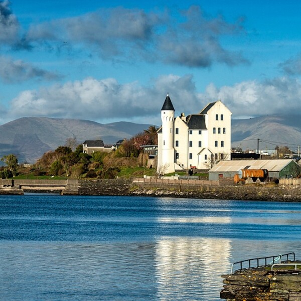 Hut site in CaherpierceHut site · 91 yd
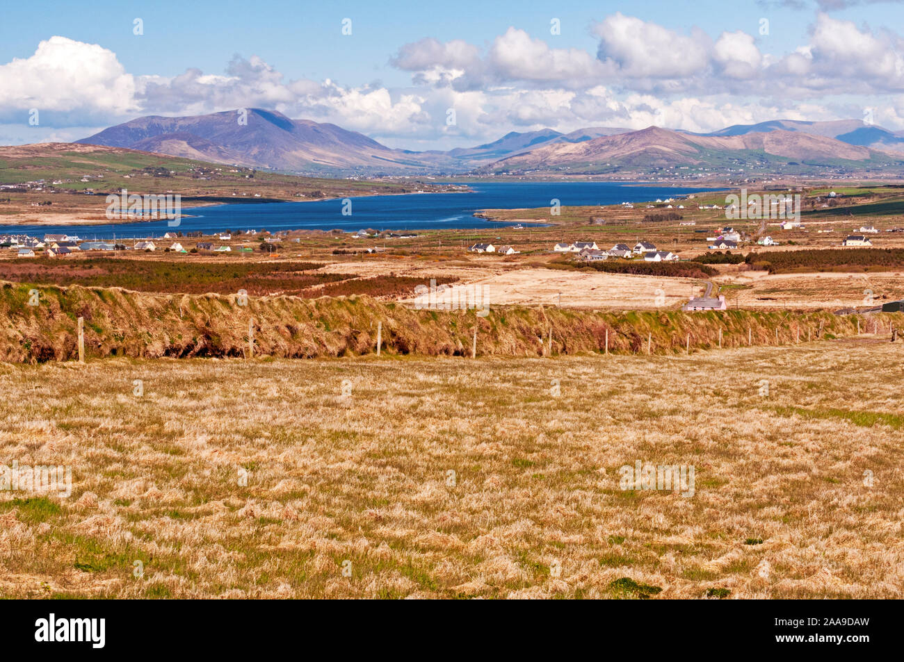 IndicatedHoly well · 385 yd
 KilnKiln, corn-drying · 1044 yd
 Church in LackChurch · 1228 yd
 BeenduffMountain / peak · 1.1 mi
 KnockmoreMountain / peak · 1.3 mi
 Cromane PointHeadland · 1.5 mi
 Inch BeachBeach / strand · 2.7 mi
 Cromane BeachBeach / strand · 3.1 mi
 CastleCastle, unclassified · 4.0 mi
 Faisr's GraveArchaeological place · 4.1 mi
 Site of Camp CastleCastle, unclassified · 4.4 mi