What is recorded here
Underground passage in Caherbulligin, County Galway. It lies within the SW quadrant of a rath and runs SE-NW beneath one visible roof lintel. Collapse and dense growth have hidden its length, leaving only a narrow stone edge to mark the route people once cut through the earth.
Within the SW quadrant of a rath (GA096-024----). This Man-made underground passage is inaccessible due to collapse and it is so densely overgrown that is was not possible to estimate its length. One roof lintel was visible, indicating that it ran SE-NW in direction. (McCaffrey 1952, 150, no. 49)
Compiled by: Galway Archaeological Survey, UCG
Date of upload: 10 January 2017
The monument record does not grant public access. Check the route and ask the landowner before entering private land.
- What survives
- Recorded monument
Places near here
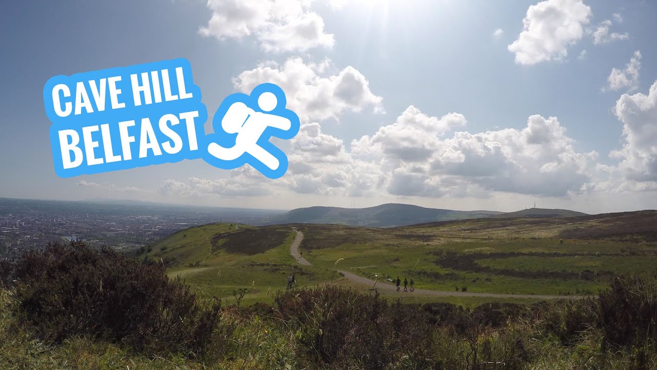 CaveMan-made underground passage · 123 yd
 CaherbulliginFairy fort / stone ringfort · 551 yd
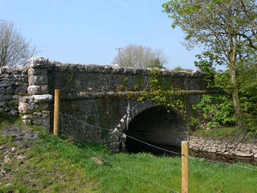 Whistle Bridgebridge · 1263 yd
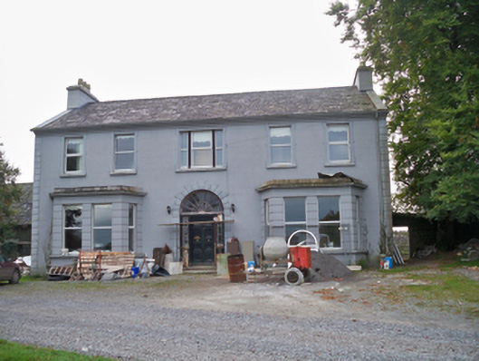 Lavallycountry house · 1.2 mi
 Site of Shanbally CastleCastle, unclassified · 1.6 mi
 Bawn in MoyveelaBawn · 1.7 mi
 Kilcornan ForestWood · 2.9 mi
 Loughaun WoodWood · 3.1 mi
 Athenry AbbeyHeritage attraction · 4.3 mi
 Athenry CastleHeritage attraction · 4.4 mi
 First Battle of Athenrybattle · 5.0 mi
 Leadmine HillMountain / peak · 7.7 mi