What is recorded here
Caheravoostia hides a man-made underground passage inside a ringfort, proving the area contained more than open fields. The T-shaped earthwork measures seventy-five centimetres on one axis and seventy-seven on the other, small enough to overlook but deliberate enough to build. People may have dug it for storage, escape or ritual, while others forgot the entrance entirely.
N of centre, in ringfort (MA118-051----). A low earthwork in a T shape pattern (N-S axis L 7.5m; E-W axis L 7.7m). Inaccessible at time of survey.
The above description has been derived from D. Lavelle (compiler), An Archaeological Survey of Ballinrobe and District including Lough Mask and Lough Carra. Lough Mask and Lough Carra Tourist Development Association (1994), No. 540.
Date of upload: 22 November 2013
The monument record does not grant public access. Check the route and ask the landowner before entering private land.
- What survives
- Recorded monument
Places near here
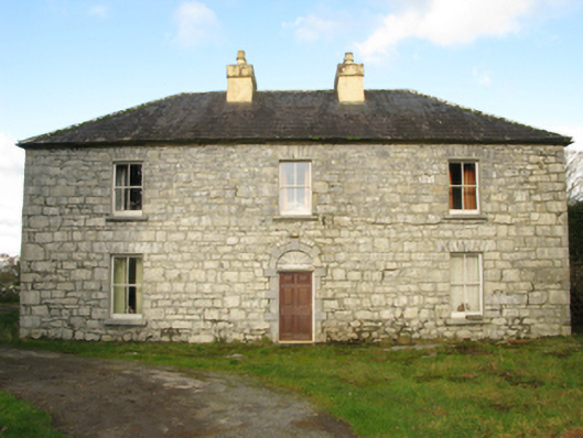 Carranvilla Housefarm house · 422 yd
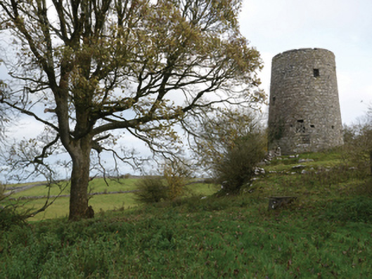 Highwood Millmill (wind) · 1356 yd
 IndicatedFairy fort / stone ringfort · 1499 yd
 Bunacrower CastleCastle · 1756 yd
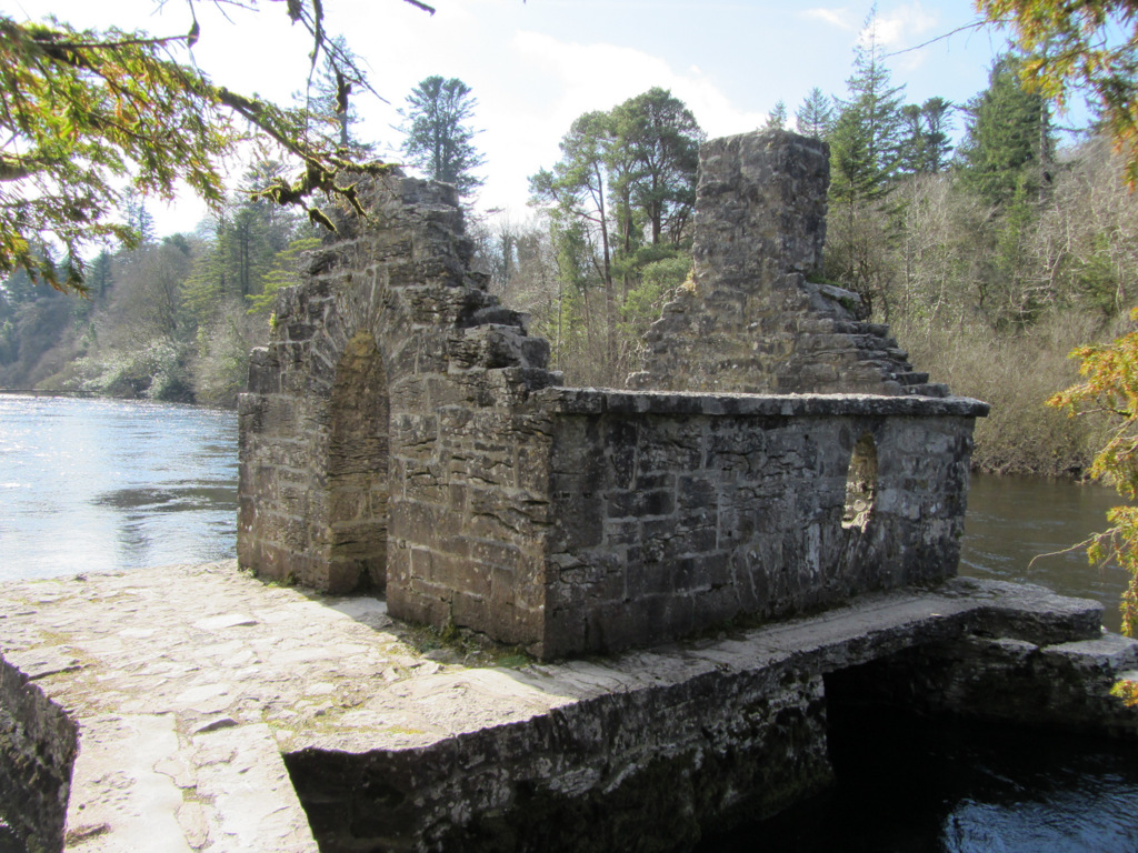 Enclosure in Kilquire LowerEnclosure · 1.0 mi
 Bawn in Kilquire LowerBawn · 1.2 mi
 SycamoreSycamore · 3.0 mi
 European YewEuropean Yew · 3.7 mi
 Cow IslandIslet · 6.4 mi
 Gibbs IslandsIslet · 8.1 mi
 School of FalconryHeritage attraction · 9.2 mi
 Ross Errilly FriaryHeritage attraction · 9.4 mi