What is recorded here
Mossy stones still mark the collapsed chambers inside the Caher ringfort, preserving an L-shaped passage long enough for two people to walk side by side before narrowing into darkness. The sharp turn and sudden depth suggest human hands shaped the rock rather than water, perhaps creating a hidden retreat or storage space during storms. Two whitethorn bushes still guard its limits, holding the boundary between the living field and the buried chamber.
In S half of a ringfort (GA087-016----). In a grassed-over L-shaped depression (L 21.5m), the outline of two collapsed chambers and a possible creep are discernible. Moss-covered stones protrude from its sides and much stone is scattered along its base. The longer axis (L 13m, Wth 2.5m) runs E-W and is up to 1m in depth. At its E end, it narrows sharply (Wth 1.8m), at which point slight traces of a possible creep can be seen. Beyond it, the depression turns sharply to S and continues on a N-S axis (L 8.5m). At its S end, it merges into the slope of the ringfort bank. Two large whitethorn bushes are growing from the sides of the depression as its NW and SE limits.
The above description is derived from the published 'Archaeological Inventory of County Galway Vol. II - North Galway'. Compiled by Olive Alcock, Kathy de hÓra and Paul Gosling (Dublin: Stationery Office, 1999).
Date of upload: 05 August 2010
The monument record does not grant public access. Check the route and ask the landowner before entering private land.
- What survives
- Recorded monument
Places near here
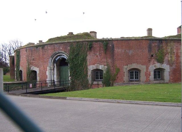 Childrens FortFairy fort / earthen ringfort · 702 yd
 Enclosure in Grange (clonmacnowen By.)Enclosure · 745 yd
 IndicatedChurch · 1159 yd
 West WoodWood · 1428 yd
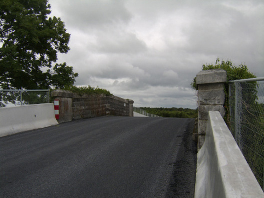 bridgebridge · 1551 yd
 Urraghry HillMountain / peak · 1.3 mi
 Castle (Site of)Castle, Anglo-Norman masonry castle · 1.6 mi
 Battle of Aughrim Interpretative CentreMuseum · 1.8 mi
 The bloody HollowHeritage attraction · 2.0 mi
 Oak WoodWood · 2.0 mi
 Battle of AughrimMajor battlefield · 2.0 mi
 Ballagh Castle (in Ruins)Castle, unclassified · 3.0 mi