What is recorded here
Situated on a S-facing slope in rolling pasture on the site of a levelled rath (LI013-109----) and visible intermittently as an E-W orientated bank (L 76.9m; Wth. 1m, H 0.15-0.2m) stretching across the field to an area of marsh. On the site of the rath the W end of the bank is visible as a rectangular concentration of stones (Wth. c. 1m; L 11m) with kerbing to the S. It terminates at a boulder in an area of scrub at its E end.
The monument record does not grant public access. Check the route and ask the landowner before entering private land.
- What survives
- Recorded monument
Places near here
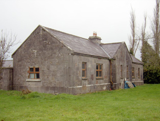 outbuilding, stablesoutbuilding, stables · 467 yd
 Boherload Househouse · 580 yd
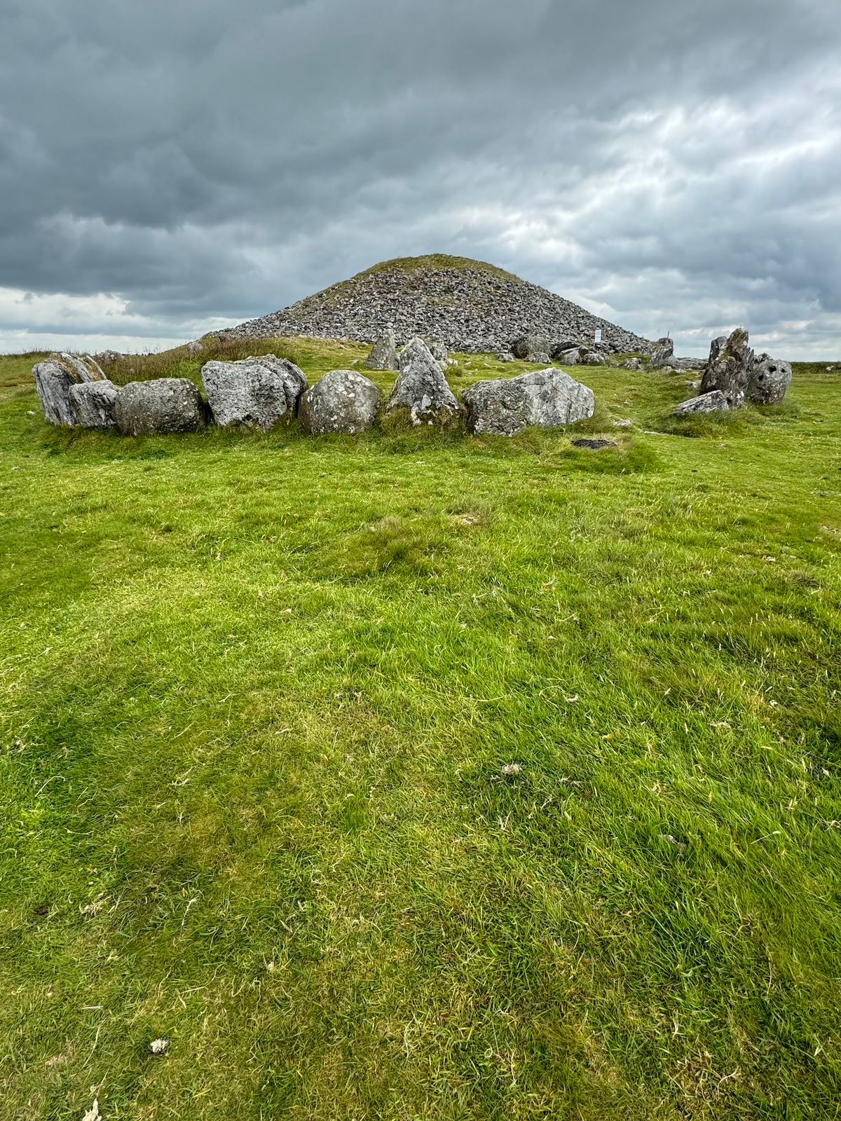 CairnCairn, unclassified · 636 yd
 Burial ground in KnockeaBurial ground · 838 yd
 Ballynagarde Ho.Castle, tower house · 1296 yd
 Bawn in Raheen (clanwilliam By., Roxborough Ed)Bawn · 1353 yd
 ToberauillinSpring · 1385 yd
 Carnane RockNamed rock · 1.6 mi
 Villiers WellSpring · 2.8 mi
 European ashEuropean ash · 5.2 mi
 Limerick Seamen's MemorialMemorial · 5.4 mi
 Saint John Paul IIMemorial · 5.4 mi