What is recorded here
KE010-028---- is situated immediately S of the Galey River, and good views are afforded in all directions. The Galey was widened and deepened a few years ago and the subsequent rubble dumped in the interior of this site, distorting the N sector completely. What remains today is a semi-circular area enclosed by an earthen bank which ranges from 1.8m-4.4m in width at the base.
The interior is at a slightly higher level than the surrounding land. Contained in the W sector is a semi-circular rise 4.4m x 4m internally and .5m high, with a depression at the centre 2.9m in diameter and .3m deep, which suggests the existence of a Man-made underground passage (KE010-028001-).
The above description is derived from C. Toal, ‘North Kerry Archaeological Survey’. Dingle. Brandon in association with FAS Training and Employment Authority (1995), no. 388. In certain instances the entries have been revised and updated in the light of recent research.
Date of upload: 2 August 2013
The monument record does not grant public access. Check the route and ask the landowner before entering private land.
- What survives
- Recorded monument
Places near here
 ToberreendoneyHoly well · 196 yd
 Enclosure in BedfordEnclosure · 369 yd
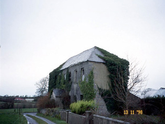 Bedford Househouse · 736 yd
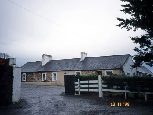 Gunsboroughfarmyard complex · 1.6 mi
 Lartigue MonorailMuseum · 1.9 mi
 John B. Keane GroveMemorial · 1.9 mi
 Bawn in GlouriaBawn · 2.1 mi
 Bryan MacMahonMemorial · 2.2 mi
 Kerry Writers' MuseumMuseum · 2.2 mi
 Listowel Castle (in ruins)Castle, tower house · 2.2 mi
 KnockanoreMountain / peak · 5.8 mi
 Siege of Carrigafoyle Castlesiege · 6.4 mi