
What is recorded here
Under the southwest ridge of Cremorne, a collapsed passage lies hidden inside the old rath. Its shadow stretches nearly ten metres through solid earth, deep enough to swallow a standing person without touching the ceiling. Whoever dug it did not carve a tunnel for display but build a route beneath the ridge, perhaps to move through the land when storms closed the fields above. The earth took the roof back, yet the hole remains, waiting for someone to drop a stone and listen for the echo.
Located at the S end of a short N-S drumlin ridge. There is a sunken area (L 9.9m; Wth 3.6m; max. D 0.85m) inside the perimeter of rath (MO027-035----) at NW with a spur (L 6.8m; Wth 4.3m) at one end that is probably a collapsed Man-made underground passage.
Compiled by: Michael Moore
Date of upload: 30 January 2018
The monument record does not grant public access. Check the route and ask the landowner before entering private land.
- What survives
- Recorded monument
Places near here
 IndicatedCrannog · 494 yd
 mill (water)mill (water) · 945 yd
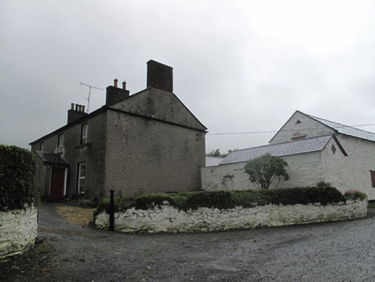 Farm Hillfarmyard complex · 1052 yd
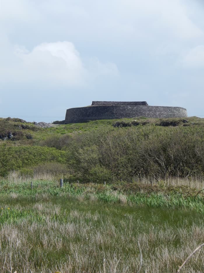 Fairy fort / stone ringfort in Bocks LowerFairy fort / stone ringfort · 1226 yd
 Tally WoodWood · 1271 yd
 Rock IslandIslet · 1.4 mi
 Gully IslandIslet · 1.5 mi
 Fincarn HillMountain / peak · 3.3 mi
 TobernagalliaghSpring · 3.8 mi
 RaferaghMountain / peak · 4.4 mi
 Sillan LakeshoreWood · 4.9 mi
 Bawn in LisdrumskeaBawn · 5.0 mi
Other information
Photo: Credit not shown in the picture search · Rights wording not checked; contact us if this picture should be removed