What is recorded here
Ballyglass West holds a collapsed underground passage beside ancient raths. People dug through solid earth because they wanted to hide, reach another field, or control water. The roof fell, stones filled the chamber, and grass grew above the wound. The Y-shaped depression still points toward both axes, preserving the shape of human ambition even when the function has vanished.
In pastureland, c. 45.5m to S of the conjoined raths (GA113-013---- and GA113-013002-). A stone-filled Y-shaped depression (L >16m) may mark the site of a possible collapsed Man-made underground passage or a disused gravel pit. The long axis runs NW-SE and the short axis extends from about the mid-point along its E side and runs NE-SW.
Compiled by: Galway Archaeological Survey, UCG
Date of upload: 14 October 2016
The monument record does not grant public access. Check the route and ask the landowner before entering private land.
- What survives
- Recorded monument
Places near here
 CavesMan-made underground passage · 122 yd
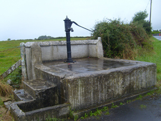 water pumpwater pump · 542 yd
 Ballymaquiff CastleCastle · 620 yd
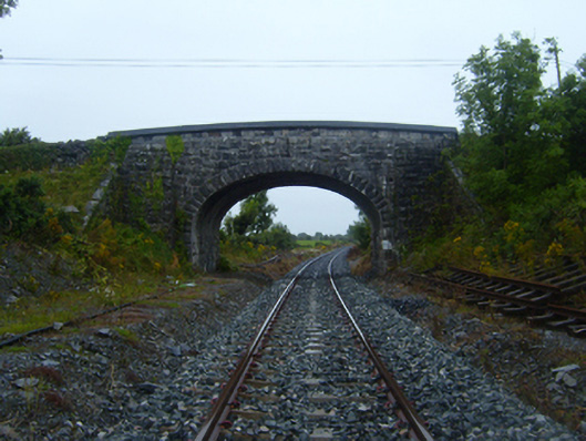 bridgebridge · 642 yd
 Drumharsna Castle (in ruins)Castle, tower house · 1353 yd
 Drumharsna CastleHeritage attraction · 1355 yd
 Enclosure in Drumharsna SouthEnclosure · 1543 yd
 HawthornHawthorn · 1.8 mi
 European ashEuropean ash · 1.8 mi
 Mulroney's IslandIslet · 5.0 mi
 Drumacoo Monastic SiteHeritage attraction · 5.3 mi
 MweenisharanIslet · 6.4 mi
Other information
Photo: Credit not shown in the picture search · Rights wording not checked; contact us if this picture should be removed