What is recorded here
In the NW quadrant of a cashel (CL016-002002-). A Man-made underground passage (L 8m), orientated E-W and visible as several exposed parallel lintels (L 1.7m). Two depressions with visible stonework to the N suggest that the Man-made underground passage was L-shaped or T-shaped in plan. These depressions have been used as badger setts and two further badger setts 6m to the NNE may also be associated.A curving field boundary (CL016-002001-) is located c. 21m to the N.
Compiled by: Mary Tunney
Date of upload: 31 January 2022
The monument record does not grant public access. Check the route and ask the landowner before entering private land.
- What survives
- Recorded monument
Places near here
 Ballybreen FortEnclosure · 190 yd
 IndicatedEnclosure · 231 yd
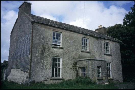 The Deaneryrectory/glebe/vicarage/curate's house · 540 yd
 CashlaunawoggaCastle, tower house · 1153 yd
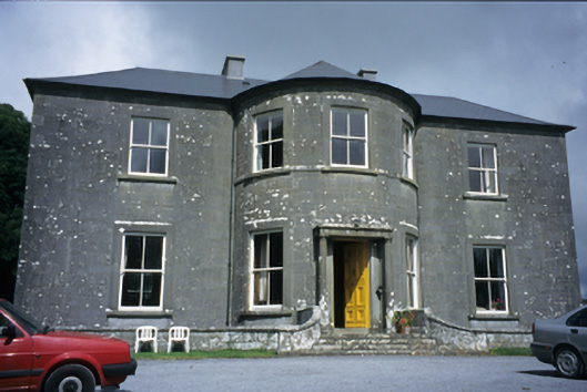 Ballykeel Housecountry house · 1242 yd
 Site of Fanta Cas.Castle, tower house · 1270 yd
 High CrossHeritage attraction · 1566 yd
 Burren Centre KilfenoraVisitor information · 1589 yd
 Ballyteigue Nature ReserveNature reserve · 2.6 mi
 Cahermacnaghten CashelHeritage attraction · 4.1 mi
 Cullaun 5 (C5b)Cave · 4.3 mi
 Cullaun 5 (C5)Cave · 4.4 mi