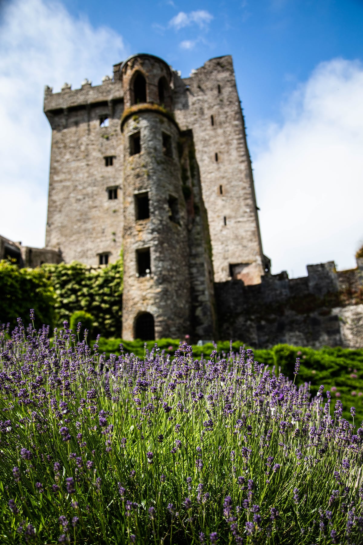
What is recorded here
Internal diam. 37.7m N-S, 40m E-W.
Ballinvoher Fort/An Lios: KE045-048----: Situated directly W of Ballyandreen village, on level ground about 200m E of a tributary of the Owenascaul river, this circular rath is enclosed by a single earthen bank and fosse.
The only feature visible in the interior is a large raised platform in the E sector. This measures 12m x 16.6m x .5m in height, and a depression near its centre measures 5m x 4.1m. A large flagstone which lies directly SW of the latter was said to mark the entrance to a Man-made underground passage KE045-048001- (OSNB Ballinvoher, book 2, 2).
The above description is derived from J. Cuppage, ‘Corca Dhuibhne. Dingle Peninsula archaeological survey. Ballyferriter. Oidhreacht Chorca Dhuibhne’ (1986), no. 311. In certain instances the entries have been revised and updated in the light of recent research.
Date of upload: 6 August 2013
The monument record does not grant public access. Check the route and ask the landowner before entering private land.
- What survives
- Recorded monument
Places near here
 Enclosure in BallyandreenEnclosure · 493 yd
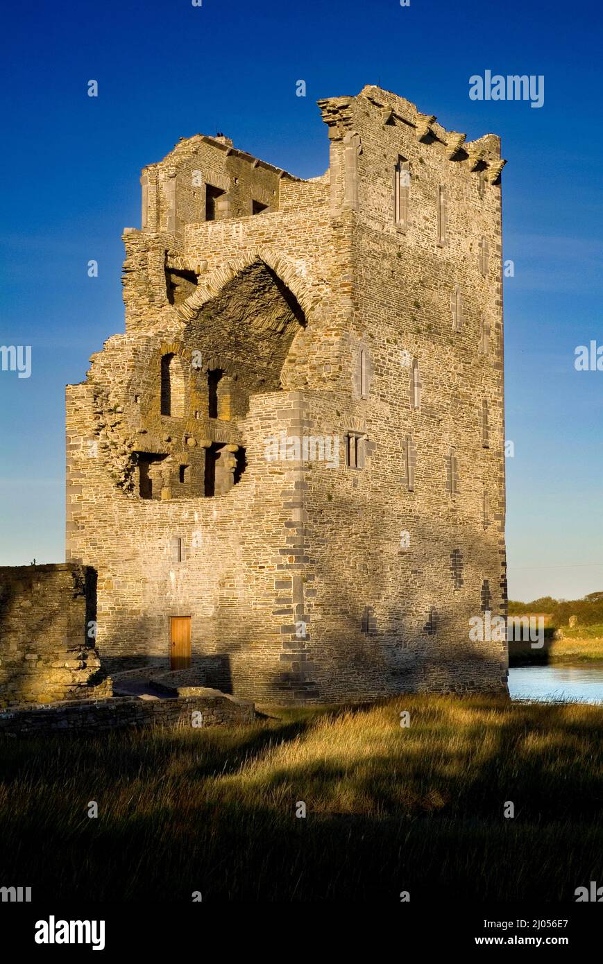 Man-made underground passage in BallintermonMan-made underground passage · 624 yd
 Church in AnnagapChurch · 1670 yd
 Brackloon Lodgehotel · 1.0 mi
 Statue of Our LadyHeritage attraction · 1.3 mi
 Jerome ConnorMemorial · 1.3 mi
 Graveyard in BallynacourtyGraveyard · 1.6 mi
 BrickanyMountain / peak · 1.9 mi
 Bunaneer StrandBeach / strand · 2.1 mi
 Glanteenassig Forest ParkForest · 2.6 mi
 Knockmulanane West TopMountain / peak · 2.9 mi
 Acres PointHeadland · 3.8 mi
Other information
Photo: Credit not shown in the picture search · Rights wording not checked; contact us if this picture should be removed