What is recorded here
The landowner called the missing eleven metres his own, as if distance could be owned like a field. What remains is a narrow drystone throat, collapsed at both ends, with a grassed flagstone marking the place where the passage may have continued. Build the missing part in your mind and walk it once. That is more than most archives give.
Within the SW quadrant of a rath (GA103-008----). This drystone-built rectangular passage (L 5m; Wth 1.8m) runs NW-SE. Access is gained via a small gap at the NW end and a considerable amount of collapse is evident at both ends. According to the landowner, the passage extended roughly 11m further to the ENE,
from the SE end. A large grassed-over flagstone at this point may be a roof lintel. (McCaffrey 1952, 177, no. 106)
Compiled by: Galway Archaeological Survey, UCG
Date of upload: 6 September 2019
The monument record does not grant public access. Check the route and ask the landowner before entering private land.
- What survives
- Recorded monument
Places near here
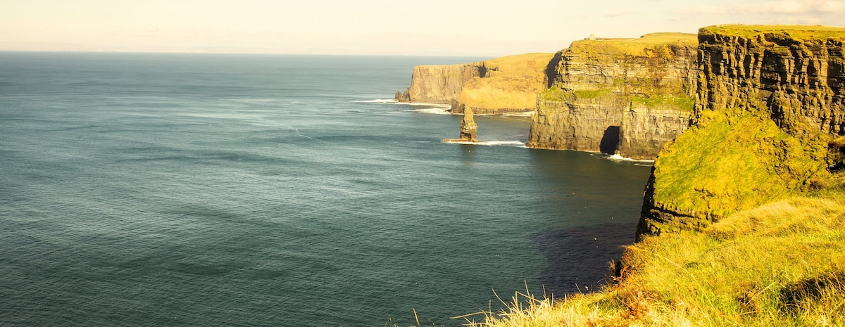 Ballinderreen FortFairy fort / earthen ringfort · 19 yd
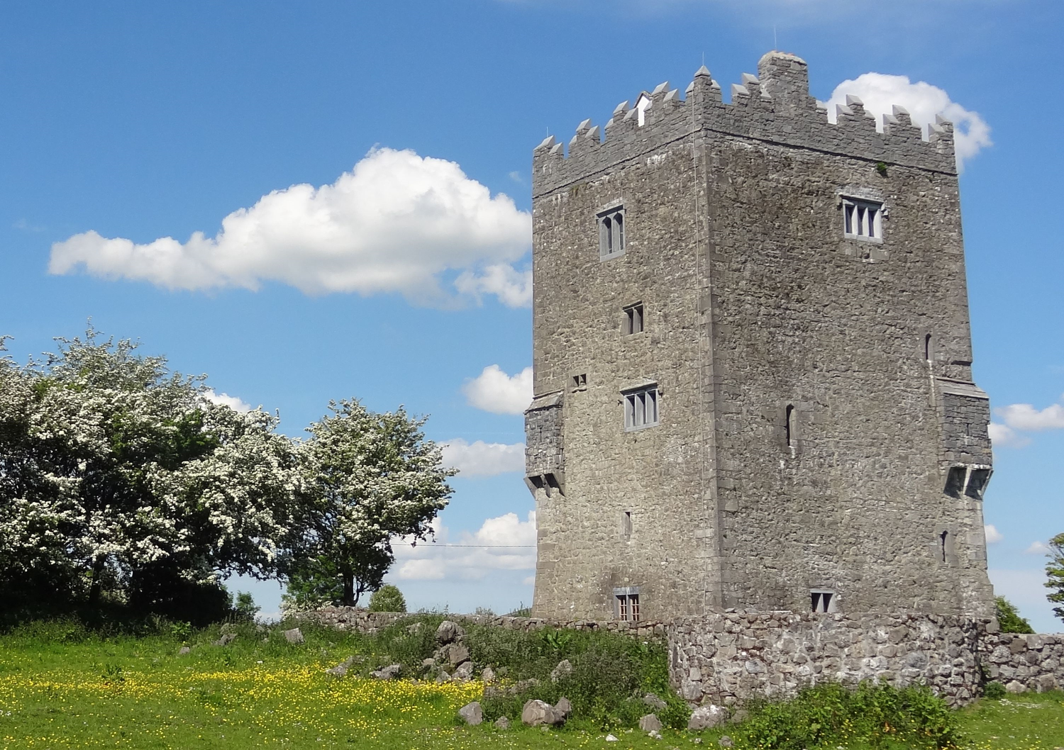 R.C. ChapelChapel · 200 yd
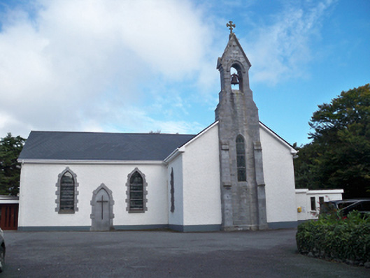 Saint Colman's Catholic Churchchurch/chapel · 514 yd
 RathgallFairy fort / stone ringfort · 1082 yd
 Drumacoo Monastic SiteHeritage attraction · 1339 yd
 MweenisharanIslet · 1.3 mi
 Site of Kilcolgan CastleCastle, tower house · 2.0 mi
 Fiddaun IslandIslet · 2.1 mi
 Ballynacourty Court (in ruins)Castle, hall-house · 2.3 mi
 Mweenish PointHeadland · 2.5 mi
 Traught BeachBeach / strand · 3.2 mi
 Kilcornan ForestWood · 3.4 mi