What is recorded here
No visible chamber or entrance survives, but a low ridge extending west from the rath on the Dingle valley slope still marks the hidden passage. Build a strong chamber beneath that ridge and the forgotten place returns as a usable room instead of a lost name.
Univallate rath KE043-227---- is situated on the E slopes of the valley that extends NE from Dingle town.
A low ridge, extending c. 9m to WSW from KE043-227001-, may indicate the position of the Man-made underground passage KE043-227002- which was located in this part of the site (local information).
The above description is derived from J. Cuppage, ‘Corca Dhuibhne. Dingle Peninsula archaeological survey. Ballyferriter. Oidhreacht Chorca Dhuibhne’ (1986), no. 295. In certain instances the entries have been revised and updated in the light of recent research.
Date of upload: 6 August 2013
The monument record does not grant public access. Check the route and ask the landowner before entering private land.
- What survives
- Recorded monument
Places near here
 An ChorrMountain / peak · 668 yd
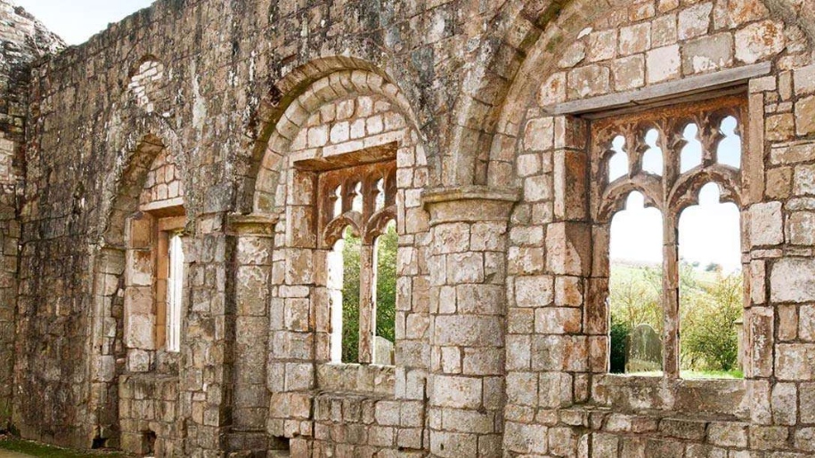 Settlement desertedSettlement deserted, medieval · 872 yd
 Man-made underground passage in Baile An ÁsaighMan-made underground passage · 1006 yd
 Saint James's Church (Dingle)church/chapel · 1.2 mi
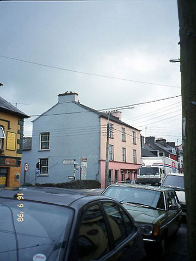 The Bridge Househouse · 1.2 mi
 Castle (Site of)Castle, tower house · 1.3 mi
 Caol Cronin - SeascapesGallery · 1.3 mi
 Ballintaggart Ogham StonesVisitor information · 1.6 mi
 Charles HaugheyMemorial · 1.6 mi
 Dingle Marina Dive CentreHeritage attraction · 1.7 mi
 Memorial to all who lost their lives in our seas.Memorial · 1.7 mi
 10Cliff · 2.0 mi