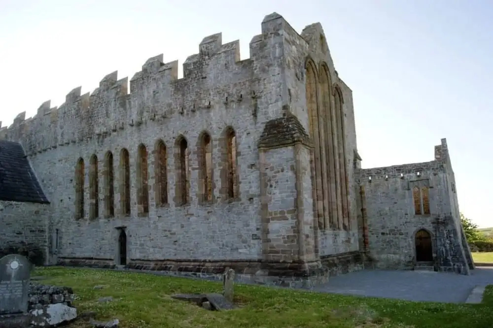
What is recorded here
A stone-built Man-made underground passage (KE057-075001-) was discovered in the W half of the site's interior in 1904 when sections of its roof collapsed (Cooke 1906, 3-4). The exposed portions comprised two passages. The larger passage was aligned NE-SW, was 12 feet (3.55m) long and varied from 6 feet (1.75m) to 2 feet (.6m) wide. Its lintelled roof was 5 feet 6 inches (1.6m) below the level of the interior of the rath. The second passage, close by, was aligned roughly N-S and measured 4 feet (1.2m) long by 4 feet (1.2m) wide. The passages were described by the CKFC as 'torn up and damaged . . . the stones which formed them thrown about' (1940, 153-4). Among these was 'a horseshoe-shaped stone of a crawl doorway', which probably was a porthole slab or arch stone of the type found in the Man-made underground passages at Kimego West (KE079-016----) and Kealduff Upper (KE071-006----). No surface trace of the Man-made underground passage is now apparent.
The above description is derived from A. O'Sullivan and J. Sheehan (compilers), 'The Iveragh peninsula: an archaeological survey of South Kerry'. Cork University Press (1996), no. 454. In certain instances the entries have been revised and updated in the light of recent research.
Date of upload: 28 July 2013
The monument record does not grant public access. Check the route and ask the landowner before entering private land.
- What survives
- Recorded monument
Places near here
 Dungeel Church (in Ruins)Church · 1705 yd
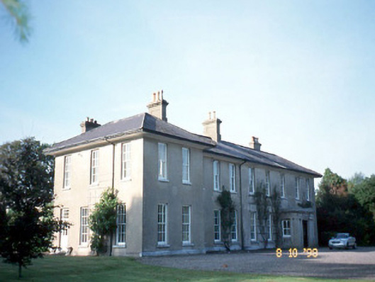 The Reekscountry house · 1.0 mi
 LisnathreealeeFairy fort / earthen ringfort · 1.2 mi
 Burnt spread in Corbally (magunihy By., Dromin Ed)Burnt spread · 1.2 mi
 Ballymalis Castle (in ruins)Castle, tower house · 1.3 mi
 Ballymalis CastleCastle · 1.3 mi
 King Puck statueMemorial · 2.8 mi
 Cloon IslandIsland · 2.9 mi
 The Kerry Creamery ExperienceHeritage attraction · 2.9 mi
 Clash IslandIslet · 2.9 mi
 KnockbrackMountain / peak · 4.0 mi
 Dunloe Ogham StonesHeritage attraction · 4.2 mi
Other information
Photo: Credit not shown in the picture search · Rights wording not checked; contact us if this picture should be removed