What is recorded here
Three earthen banks and intervening fosses form a 43m circular rath on a SE-facing slope above the Laune River valley. Trees, bushes and dense undergrowth now obscure most of the works, but the causeway entrance at NNE and the gently sloping interior remain readable in the land. The fort may have watched traffic, herds or message-runs moving through the valley, while its depth and distance gave it the air of a fairy fort.
In pasture, on a SE-facing slope, overlooking the valley of the Laune River. A circular area (43m E-W; 42m N-S) defined by three earthen banks with intervening fosses and an outer fosse. The inner earthen bank (Wth 7.25m; int. H 0.85m; ext. H 1.55m) and intervening fosse (Wth 4.5m) are visible all round. The middle earthen bank (Wth 10.9m; int. H 2.15m; ext. H 1.6m) is separated by a second intervening fosse (Wth 2.9m) from the outer earthen bank (Wth 7.3m; int. H 2.2m; ext. H 2.1m). The outer fosse (Wth 2.5m; D 0.3m) is visible SW-N. The interior slopes gently down to the SE. The rath is cut (D 2m) into the upslope at NW. There is a partially eroded causeway entrance (Wth 3.5m) at NNE. The entire rath is largely obscured by trees, bushes and dense undergrowth. A limekiln is indicated on the 1846 OS 6-inch map abutting the enclosing elements at WSW.
Compiled by: Elizabeth Byrne, Ursula Egan and Sheila Ronan, Archaeological Survey Unit, University College, Cork.
Date of upload: 31 January 2011
The monument record does not grant public access. Check the route and ask the landowner before entering private land.
- What survives
- Recorded monument
Places near here
 Burnt spread in Corbally (magunihy By., Dromin Ed)Burnt spread · 319 yd
 Dungeel Church (in Ruins)Church · 372 yd
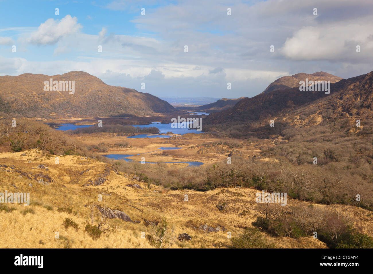 IndicatedKiln, lime · 1258 yd
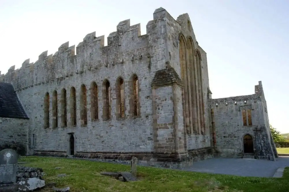 Man-made underground passage in ArdrawMan-made underground passage · 1.2 mi
 Clash IslandIslet · 2.0 mi
 Cloon IslandIsland · 2.1 mi
 Ballymalis Castle (in ruins)Castle, tower house · 2.1 mi
 Ballymalis CastleCastle · 2.1 mi
 King Puck statueMemorial · 2.2 mi
 The Kerry Creamery ExperienceHeritage attraction · 2.7 mi
 Dunloe Ogham StonesHeritage attraction · 5.1 mi
 Japanese pagoda treeJapanese pagoda tree · 5.2 mi
Other information
Photo: Credit not shown in the picture search · Rights wording not checked; contact us if this picture should be removed