What is recorded here
No surface remains visible of any possible Man-made underground passage located on or in close proximity to the motte and bailey castle (WM031-099----) (Bradley et. al. 1985, 14). In 1788 John Brownrigg (1788, 46) described the motte and bailey castle at Ardnurcher as ‘a high truncated cone, though not quite circular or insulated, as it is part of a long narrow ridge. It is surrounded with a trench and an outer mound of earth, having very rude caves down through its centre, which were open lately, and may be examined at any time by the curious, their entrance being known to everyone in the neighbourhood. The reference to 'caves' may suggest the presence of a Man-made underground passage on the motte and bailey castle. The precise location of these 'caves' if they existed has not been identified.
Compiled by: Caimin O'Brien
Date of upload: 14 August 2014
The monument record does not grant public access. Check the route and ask the landowner before entering private land.
- What survives
- Recorded monument
Places near here
 Brides WellHoly well · 359 yd
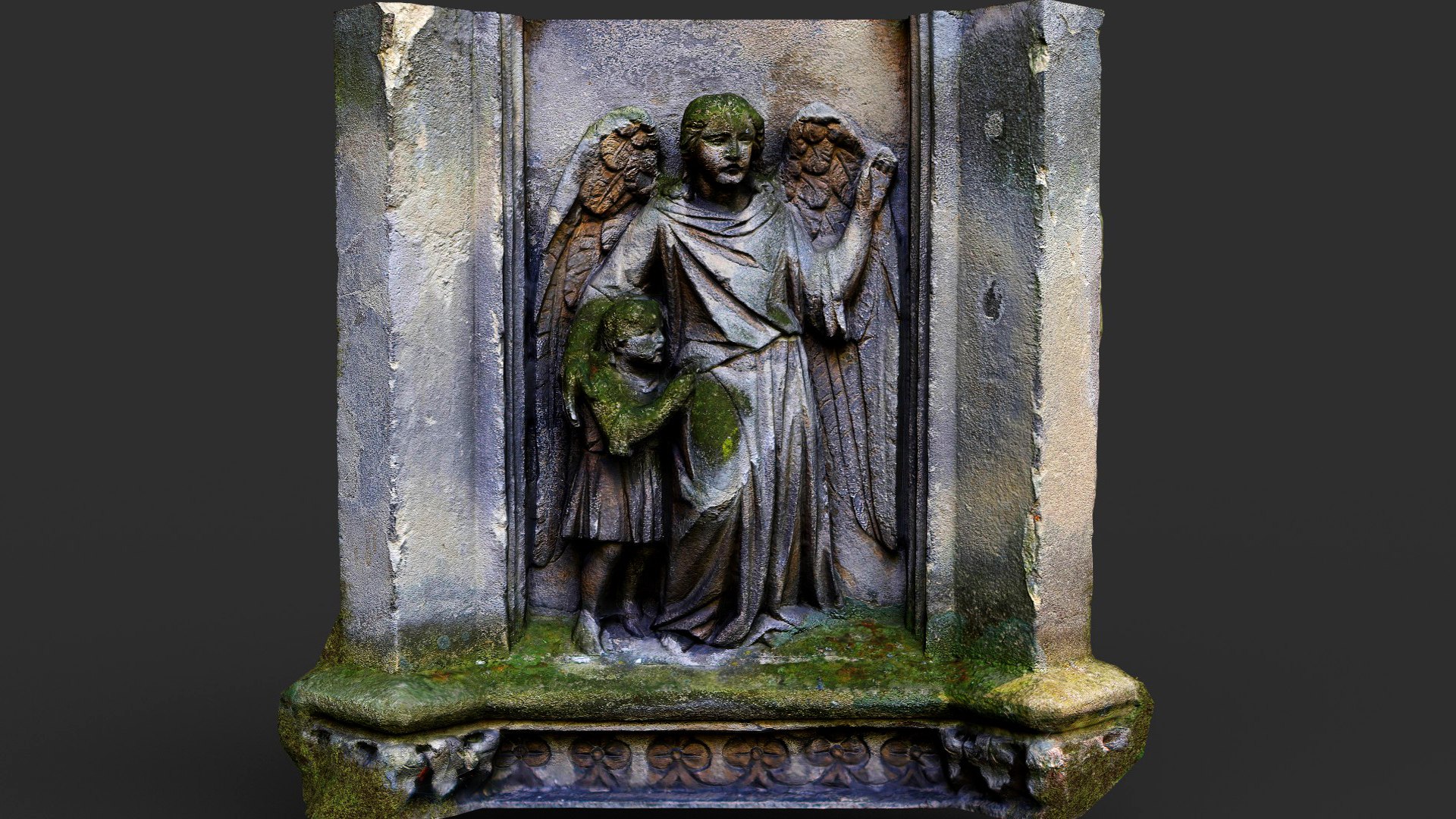 Wall monumentWall monument, effigial · 721 yd
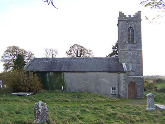 Horseleap Church (Ardnurcher or Horseleap)church/chapel · 728 yd
 Ecclesiastical enclosure in ArdnurcherEcclesiastical enclosure · 729 yd
 Hachured, Wall, HorseleapCastle, motte and bailey · 899 yd
 Syonan CastleCastle · 1311 yd
 Kilmalady HillMountain / peak · 1.9 mi
 ToberaskeenSpring · 3.9 mi
 Chapel HillForest · 4.0 mi
 Roughan HillMountain / peak · 4.1 mi
 High WoodWood · 5.5 mi
 Charles BianconiMemorial · 5.5 mi