What is recorded here
In pasture, close to the shore on the S side of an inlet in Newport Bay. There is a rath (MA076-009) c. 150m to SSE. A blocked-up opening to a subterranean cavity, with a depth below ground surface of at least 1.1m. According to local information it is an artificial underground passage.
Compiled by: Jane O'Shaughnessy
Date of upload: 2 August 2017
The monument record does not grant public access. Check the route and ask the landowner before entering private land.
- What survives
- Recorded monument
Places near here
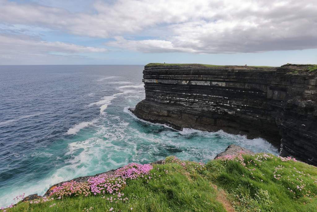 IndicatedFairy fort / earthen ringfort · 182 yd
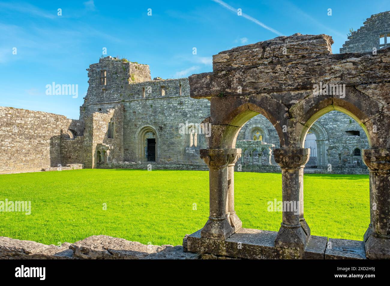 Enclosure in RassakeeranEnclosure · 527 yd
 Ross PointHeadland · 765 yd
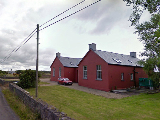 Saint Brendan's National Schoolschool · 1096 yd
 InishnakillewIslet · 1590 yd
 Church (in Ruins)Church · 1615 yd
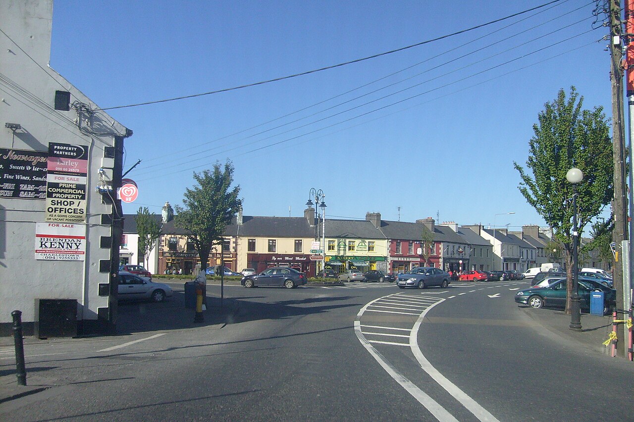 Caslte LeaffyCastle · 1649 yd
 Carrigeenglass NorthIslet · 1.1 mi
 Rossanrubble PointHeadland · 1.3 mi
 Site of Bawn CastleCastle, unclassified · 2.7 mi
 Barrett's HillMountain / peak · 3.1 mi
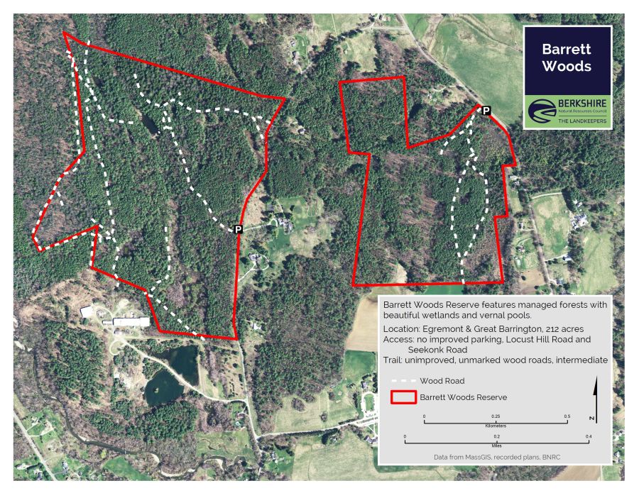 Barrett's WoodWood · 3.2 mi