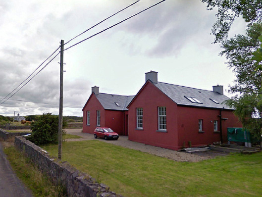
What is recorded here
Detached three-bay single-storey national school, designed 1927; built 1927; dated 192-, opened 1928[?], on a H-shaped plan with single-bay (two-bay deep) full-height gabled projecting end bays. In use, 1944. Closed, 1982. In alternative use, 2005. "Restored", 2007-8, to accommodate alternative use. For sale, 2012. Pitched slate roof on a H-shaped plan with clay ridge tiles terminating in cement rendered chimney stacks having concrete capping supporting terracotta pots, rooflights, and cast-iron rainwater goods on rendered eaves retaining cast-iron downpipes. Rendered walls on rendered chamfered plinth. Paired square-headed central door openings centred on rusticated cut-limestone date stone ("192-") with concealed dressings framing timber boarded or tongue-and-groove timber panelled doors having overlights. Paired square-headed window openings with cut-limestone sills, and concealed dressings framing six-over-nine timber sash windows. Interior reconstructed, 2007-8. Set in landscaped grounds with piers to perimeter supporting flat iron gate.
A national school erected to a design supplied by the Office of Public Works (established 1831) representing an integral component of the early twentieth-century architectural heritage of Moyna. Having been successfully adapted to accommodate an alternative use, the elementary form and massing survive intact together with quantities of the original or sympathetically replicated fabric, thus upholding the character or integrity of a national school making a pleasing visual statement in a sylvan street scene.
This does not grant access. Most recorded buildings are privately owned; view them only from public ground unless the owner allows entry.
Places near here
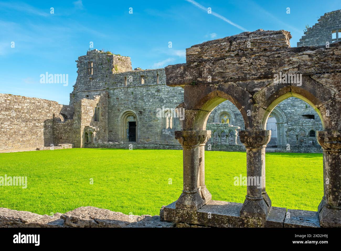 Enclosure in RassakeeranEnclosure · 609 yd
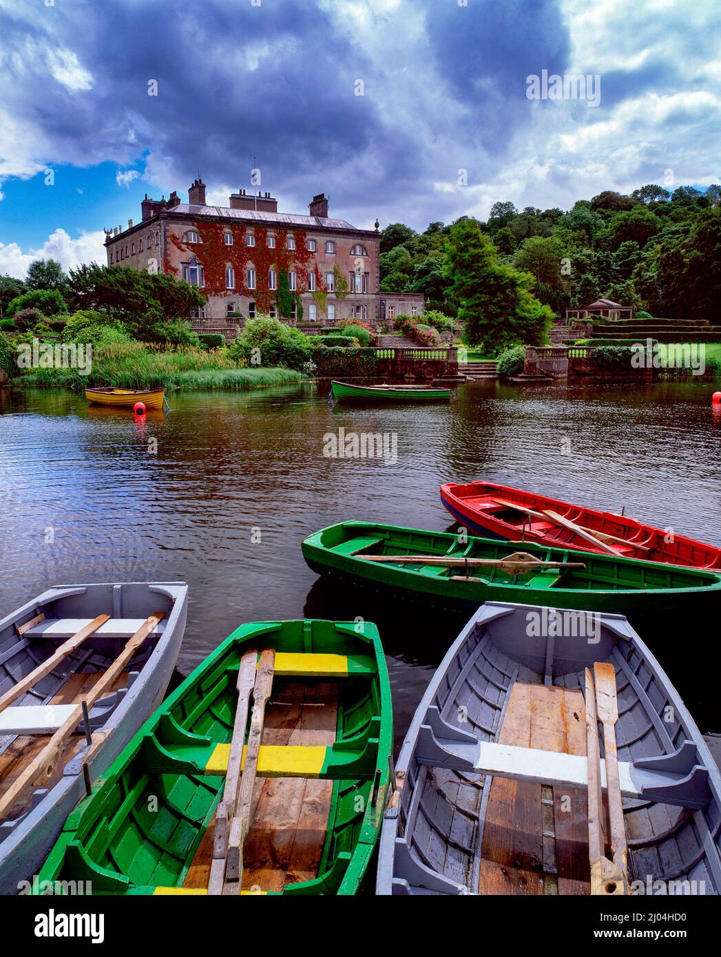 Enclosure in Carrowbeg (burrishoole By., Kilmeena Par.)Enclosure · 654 yd
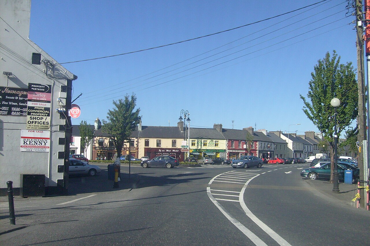 Caslte LeaffyCastle · 1598 yd
 Ross PointHeadland · 1.1 mi
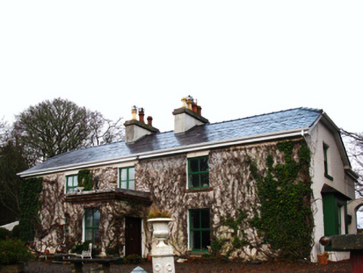 Ross Househouse · 1.1 mi
 presbytery/parochial/curate's housepresbytery/parochial/curate's house · 1.1 mi
 InishnakillewIslet · 1.5 mi
 Carrigeenglass NorthIslet · 1.7 mi
 Roscahill PointHeadland · 1.8 mi
 Site of Bawn CastleCastle, unclassified · 2.4 mi
 Barrett's HillMountain / peak · 2.6 mi
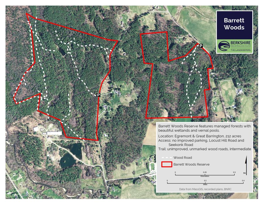 Barrett's WoodWood · 2.6 mi
Other information
Photo: National Inventory of Architectural Heritage · Website use allowed for educational or private purposes with source credit