
What is recorded here
Not marked on the OS maps, a Man-made underground passage was discovered at this location in the 1950s in low-lying land on the W side of the Derreen river estuary, c. 100m SW of Ardcost Foot. It was subsequently filled in. All that is now apparent at this location is a low, L-shaped bank, measuring 8.5m N-S and 7.5m E-W, which incorporates a number of boulders. It is 3m wide and rises .8m above surrounding ground level. The site is known locally as an óin.
The above description is derived from A. O'Sullivan and J. Sheehan (compilers), 'The Iveragh peninsula: an archaeological survey of South Kerry'. Cork University Press (1996), no. 844. In certain instances the entries have been revised and updated in the light of recent research.
Date of upload: 29 July 2013
The monument record does not grant public access. Check the route and ask the landowner before entering private land.
- What survives
- Recorded monument
Places near here
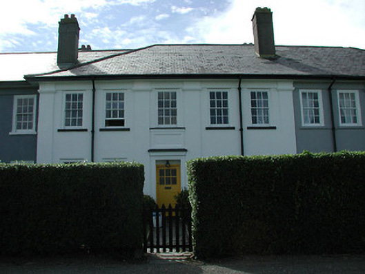 worker's houseworker's house · 1.1 mi
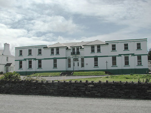 The Cable Stationtelegraph station · 1.2 mi
 Stone CrossCross · 1.2 mi
 Megalithic structure in KilloluaigMegalithic structure · 1.5 mi
 Kilbeg MountainMountain / peak · 2.0 mi
 Beginish IslandIsland · 2.3 mi
 White Strand BeachBeach / strand · 2.3 mi
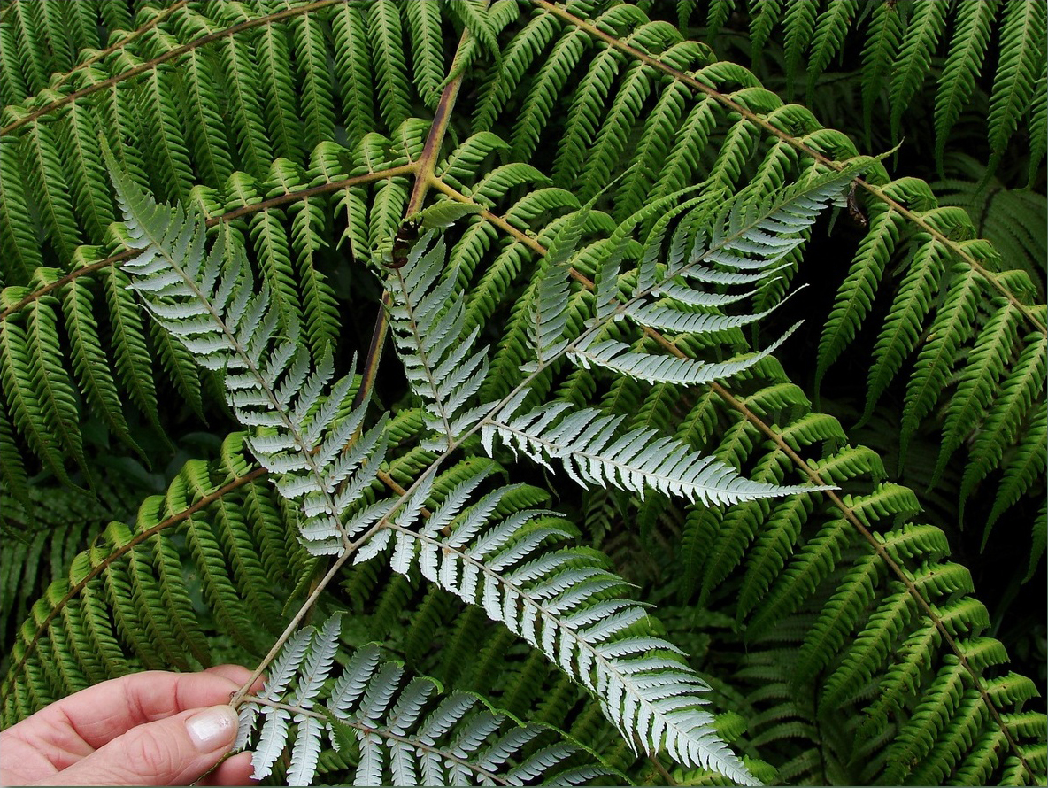 Silver tree fernSilver tree fern · 2.3 mi
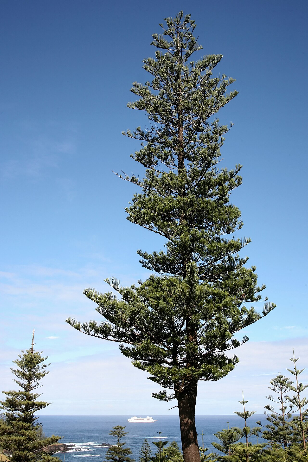 Norfolk Island AraucariaNorfolk Island Araucaria · 2.4 mi
 Mc Crehins Castle (Site of)Castle, unclassified · 2.4 mi
 Foughil IslandIslet · 2.6 mi
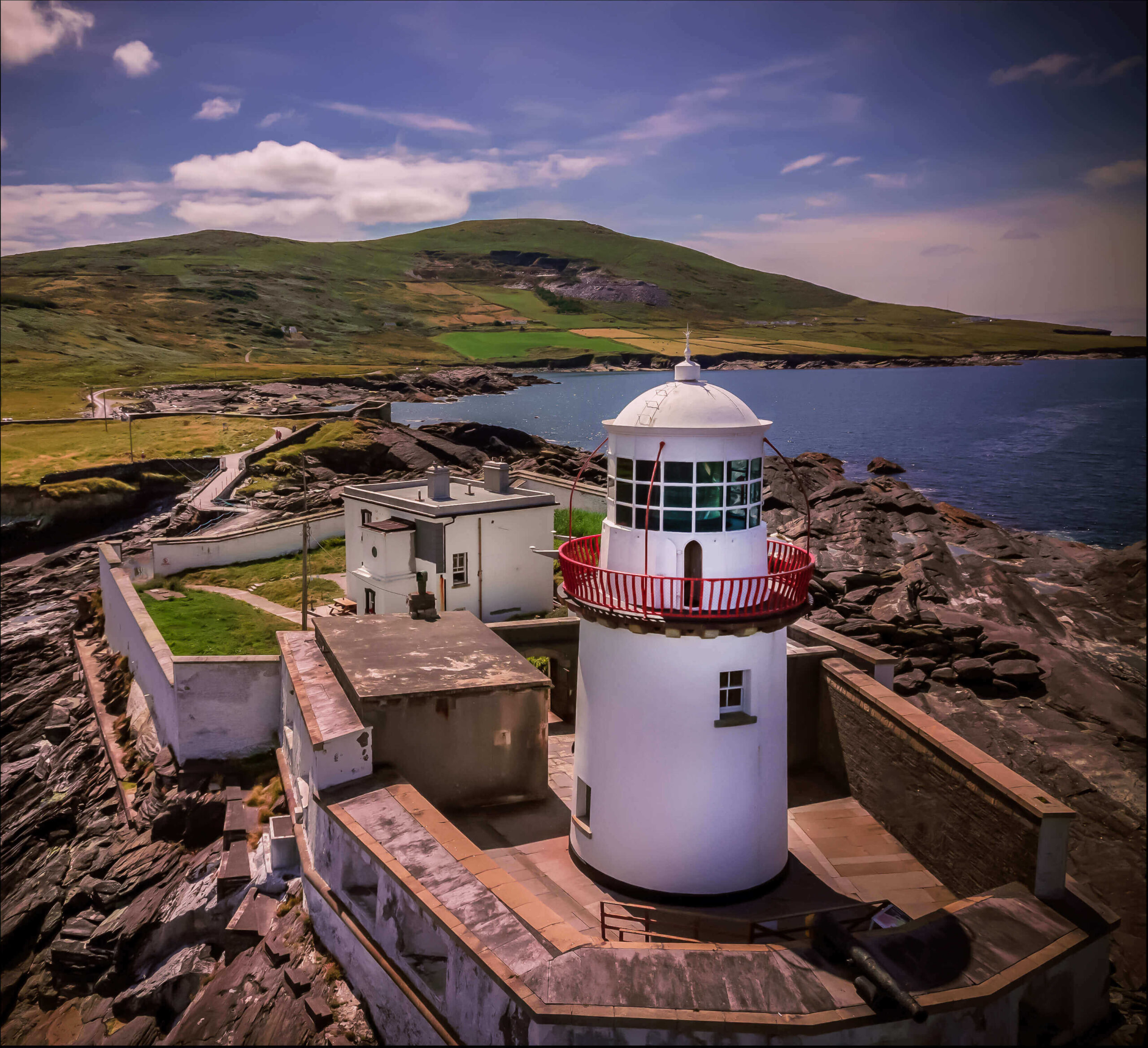 Valentia Island LighthouseMuseum · 2.7 mi
Other information
Photo: Credit not shown in the picture search · Rights wording not checked; contact us if this picture should be removed