What is recorded here
This filled-in Man-made underground passage is now inaccessible. The rock-cut entrance measures 1.3m E-W × 1m N-S and is 1.75m deep at present. It is situated on a slight ridge in a grazing field which slopes to the SE.
The above description was derived from the 'Archaeological Survey of County Donegal. A description of the field antiquities of the County from the Mesolithic Period to the 17th century.' Compiled by: Brian Lacey with Eamon Cody, Claire Cotter, Judy Cuppage, Noel Dunne, Vincent Hurley, Celie O'Rahilly, Paul Walsh and Seán Ó Nualláin (Lifford: Donegal County Council, 1983). In certain instances the entries have been revised and updated.
Date of upload: 22 September 2008
The monument record does not grant public access. Check the route and ask the landowner before entering private land.
- What survives
- Recorded monument
Places near here
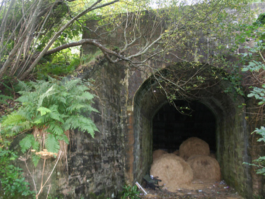 bridgebridge · 644 yd
 Former Gaddyduff Fairy FortFairy fort / ringfort · 862 yd
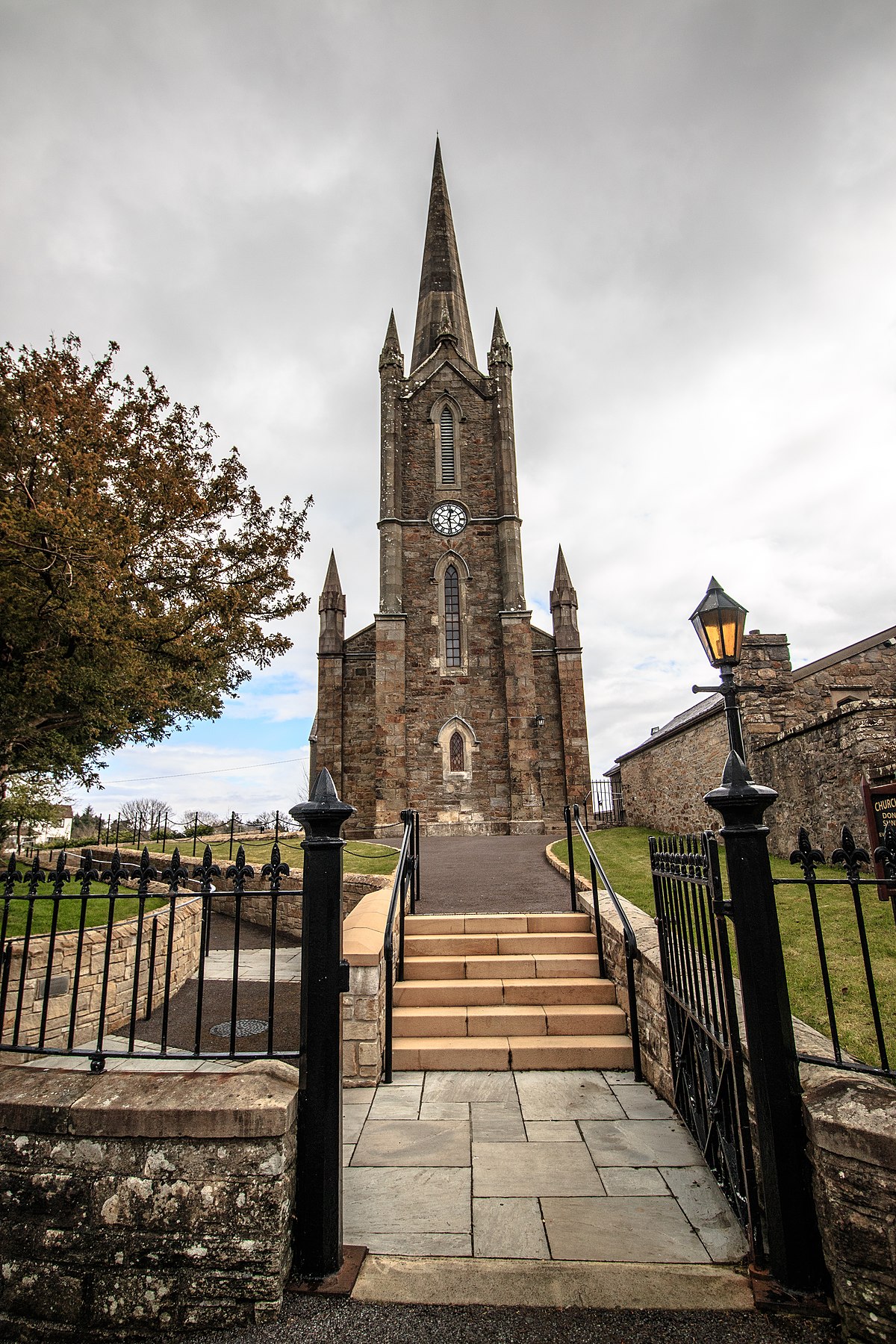 Church in Binnion (straid Ed)Church · 1111 yd
 Clehagh Stone RingfortFairy fort / stone ringfort · 1527 yd
 Clonmany Early Church GraveyardGraveyard · 1640 yd
 Glenevin Waterfall WalkOfficial walking route · 1.1 mi
 Glenevin WaterfallWaterfall · 1.5 mi
 Glenevin Waterfall, Clonmanywaterfall · 1.5 mi
 Raghtin MoreMountain / peak · 2.6 mi
 Glendowen craft shopHeritage attraction · 2.6 mi
 Glashedy IslandIslet · 3.2 mi
 Bawn in CarrickabraghyBawn · 3.3 mi