What is recorded here
Seven metres of broken stone lie buried beneath the drumlin slope, a forgotten tunnel where human hands once shaped the earth. The collapsed lintels and side-walls still protrude through the rath, waiting for someone to trace their edges in the dark. What was hidden there, and who chose to hide it, has vanished with the roof that fell.
Located towards the top of the S-facing slope of a drumlin. A collapsed underground passage (L 7m; Wth 0.7-1m), of which some broken lintels and the tops of the side-walls can intermittently be seen, is within rath (LE015-021001--) extending SW from the centre.
The above description is derived from 'The Archaeological Inventory of County Leitrim' compiled by Michael J. Moore (Dublin: Stationery Office, 2003). In certain instances the entries have been revised and updated in the light of recent research.
Date of upload: 23 September 2008
The monument record does not grant public access. Check the route and ask the landowner before entering private land.
- What survives
- Recorded monument
Places near here
 Green IslandIslet · 1077 yd
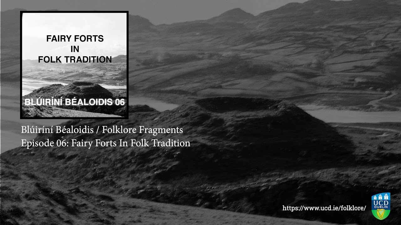 Fairy fort / earthen ringfort in SocksFairy fort / earthen ringfort · 1080 yd
 IndicatedFairy fort / earthen ringfort · 1267 yd
 Kilcoosey National Schoolschool · 1488 yd
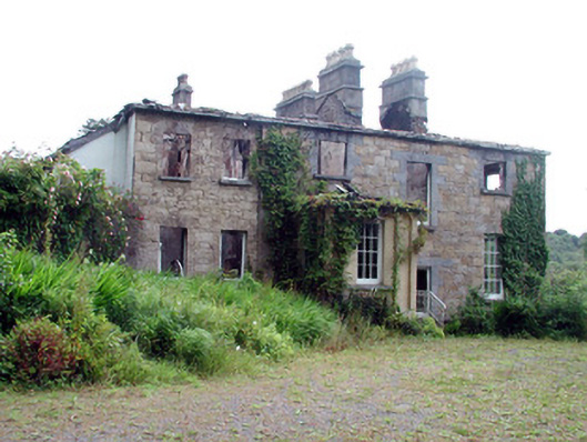 Drumlease Glebe Houserectory/glebe/vicarage/curate's house · 1.3 mi
 Old HallCastle, hall-house · 2.4 mi
 BenboMountain / peak · 3.0 mi
 Doonbran Isd.Bawn · 3.5 mi
 Parke's CastleHeritage attraction · 3.6 mi
 Cullentra ForestForest · 3.7 mi
 Giants RockNamed rock · 3.9 mi
 Trawane BayBay · 4.2 mi