What is recorded here
Twelve years of storms erased the chamber walls and filled the passage with soil, yet the L-shaped hollow still cuts through the grass like a forgotten knife. The collapsed lintel at one end proves humans built the roof before nature reclaimed it. A hidden bridge to Castlegrove may still exist beneath the soil, waiting for someone brave enough to dig through decades of rain and forgetfulness.
On the summit of a gentle rise in former demesne land. Named as 'Man-made underground passage' on 3rd ed. of OS 6-inch map (1932). Described by Costello (1903, 6) as 'a small Man-made underground passage of at least 14ft [4.25m] in length ... so filled at present as to be impossible to examine'. All that is now visible is an irregular grassy L-shaped hollow (L 13.5m), up to 3m in width. A collapsed roof lintel is visible at NE end of the shorter arm (L 5.5m) which runs NE-SW. At its SW end, the hollow turns sharply to W, on an E-W axis (L 8m). According to Costello (ibid.), 'it is believed ... that there is a communication between this cave and the castle of Castlegrove' (GA016-021----) which lies 450m to SE.
The above description is derived from the published 'Archaeological Inventory of County Galway Vol. II - North Galway'. Compiled by Olive Alcock, Kathy de hÓra and Paul Gosling (Dublin: Stationery Office, 1999).
Date of upload: 05 August 2010
The monument record does not grant public access. Check the route and ask the landowner before entering private land.
- What survives
- Recorded monument
Places near here
 LisleaFairy fort / earthen ringfort · 346 yd
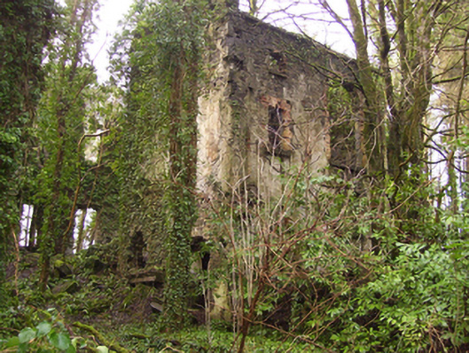 Castlegrove Househouse · 484 yd
 CastleCastle, tower house · 495 yd
 LisnacreevaFairy fort / earthen ringfort · 1545 yd
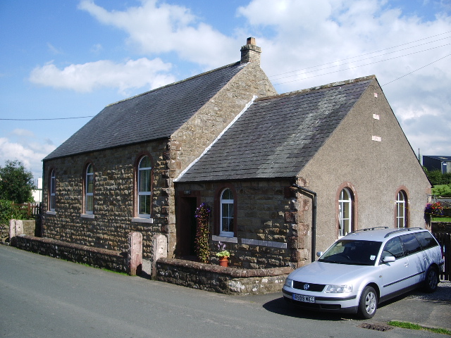 Old R.C. ChapelChapel · 1.1 mi
 Fartamore Castle (ruins)Castle · 1.4 mi
 Mass RockNamed rock · 3.1 mi
 European ashEuropean ash · 3.2 mi
 European YewEuropean Yew · 4.5 mi
 Kilcoona Round TowerHeritage attraction · 9.5 mi
 Otter IslandIslet · 13 mi
 Inis Mhic an TrírIsland · 13 mi