What is recorded here
No visible surface trace, but in the SW quadrant of a levelled ringfort in County Cork, Ireland, a man-made underground passage still exists. It is the kind of hidden work that suggests people wanted to go down rather than show off above. The ringfort has been flattened, yet the passage remains recorded as a deliberate cut through earth. That contrast is striking: the grand shape was lost, while the secret hole survived.
In SW quadrant of levelled ringfort (CO071-002001-). No visible surface trace.
The above description is derived from the published 'Archaeological Inventory of County Cork. Volume 3: Mid Cork' (Dublin: Stationery Office, 1997). In certain instances the entries have been revised and updated in the light of recent research.
Date of upload/revision: 14 January 2009
The monument record does not grant public access. Check the route and ask the landowner before entering private land.
- What survives
- Recorded monument
Places near here
 KilnKiln, lime · 176 yd
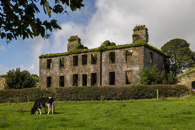 Mount Massy (in Ruins)Country house · 873 yd
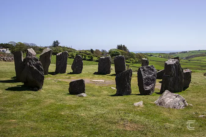 Stone CircleField boundary · 1116 yd
 Neill's WoodWood · 1585 yd
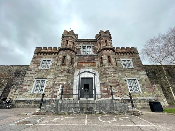 Enclosure in Kill (muskerry West By.)Enclosure · 1636 yd
 Macroom WalksVisitor information · 1.0 mi
 Macroom Castle (in Ruins)Castle, tower house · 1.1 mi
 Battle of Macroombattle · 1.1 mi
 Ummera WoodWood · 1.7 mi
 Clonavrick CliffCliff · 2.1 mi
 Mashanaglass Castle (in Ruins)Castle, tower house · 3.0 mi
 BurrenMountain / peak · 3.5 mi