
What is recorded here
Built against outer face of ringfort bank (CO071-001001-); sides and top of kiln completely overgrown. Front (H c. 3m) facing S; lintelled recess (H 1.5m; Wth 1.6m; D 2m) with sloping slabs to rear.
The above description is derived from the published 'Archaeological Inventory of County Cork. Volume 3: Mid Cork' (Dublin: Stationery Office, 1997). In certain instances the entries have been revised and updated in the light of recent research.
Date of upload/revision: 14 January 2009
The monument record does not grant public access. Check the route and ask the landowner before entering private land.
- What survives
- Recorded monument
Places near here
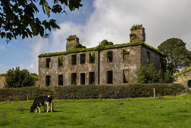 Mount Massy (in Ruins)Country house · 738 yd
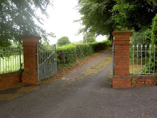 Coolyhane Housecountry house · 1112 yd
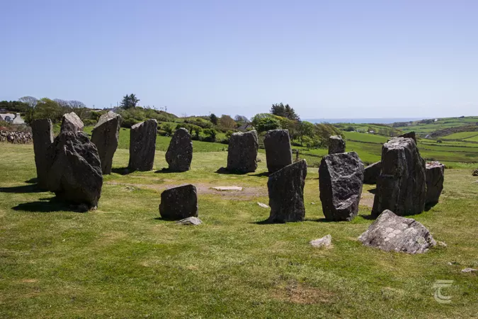 Stone CircleField boundary · 1250 yd
 Neill's WoodWood · 1444 yd
 Burial Gd (Disused)Burial ground · 1681 yd
 Macroom WalksVisitor information · 1742 yd
 Macroom Castle (in Ruins)Castle, tower house · 1.1 mi
 Battle of Macroombattle · 1.1 mi
 Ummera WoodWood · 1.7 mi
 Clonavrick CliffCliff · 2.2 mi
 Carrigaphooca CastleCastle · 3.0 mi
 BurrenMountain / peak · 3.5 mi
Other information
Photo: Credit not shown in the picture search · Rights wording not checked; contact us if this picture should be removed