What is recorded here
Closed. The facts remove the possibility of claiming chambers, tunnel length or chamber shape. Any account must say the passage is not visible or not defined.
In pasture, on the SE facing slope of Mortlestown Hill, 40m W of townland boundary with Ballinlyna Lower. ‘Cahir Mortle’ (LI056-011001-) and ringfort (LI056-011002-) lie 500m to the NW, a stone circle (LI056-014----) lies 264m to the E. Not marked on the 1840 ed. OSi 6-inch map. Annotated ‘Man-made underground passage’ on Cassini ed. OSi 6-inch map, where it is shown as a small circular opening in W quadrant of ringfort (LI056-013----). In 1931 the monument was described as; ‘two moats or lisses with Man-made underground passages’ (O’Shaughnessy and Carroll 1931, 69-70). Man-made underground passage is not depicted on 1897 ed. OSi 25-inch map. No surface remains of Man-made underground passage visible on Digital Globe orthoimage taken between 2011-2013 and on Google Earth orthoimages.
See attached Google Earth orthoimages
Compiled by: Caimin O’Brien
Date of upload: 2 December 2021
The monument record does not grant public access. Check the route and ask the landowner before entering private land.
- What survives
- Recorded monument
Places near here
 Cliff-edge fort in Ballinlyna LowerCliff-edge fort · 529 yd
 Man-made underground passageMan-made underground passage · 563 yd
 Tuck MillWater mill, unclassified · 963 yd
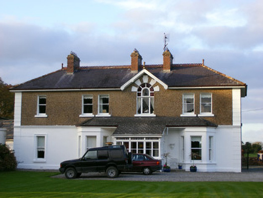 Sycamore Lodgehouse · 1274 yd
 Ballyhoura tourist informationVisitor information · 1.1 mi
 Treada Na Ríogh (The Moat), hachuredCastle, motte · 1.1 mi
 Castle (in ruins)Castle, tower house · 1.2 mi
 Gooseberry HillMountain / peak · 1.4 mi
 Keale MountainMountain / peak · 1.6 mi
 Palatine's RockNamed rock · 2.0 mi
 Ballyhoura WayWalking route · 2.1 mi
 ToberpatrickSpring · 2.4 mi