What is recorded here
At the E end of Gowran, on the S side of Main Street. A building annotated, ‘Malt House’ is indicated at this location on White’s map of Gowran, 1710/11. Though the map is early 18th century in date, it is likely that the malt house, which no longer survives above ground, dated to, at least, the 17th century. The malt house appears to have been situated roughly where the 19th-century gate lodge at the main entrance to Gowran Castle is located.
See attached:
KK020-060022-_01 White's map of Gowran 1710/11 with malt house highlighted.
Compiled by: Jean Farrelly
Date of upload: 26 March 2021
The monument record does not grant public access. Check the route and ask the landowner before entering private land.
- What survives
- Recorded monument
Places near here
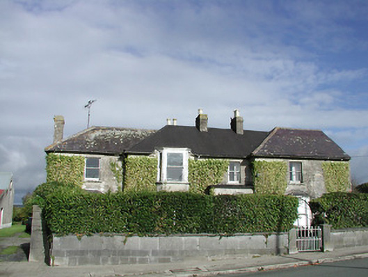 Gowran Househouse · 44 yd
 Gowran Courthousecourt house · 58 yd
 Castle (Site of)Castle, unclassified · 183 yd
 IndicatedTown defences · 257 yd
 Font in GowranFont · 270 yd
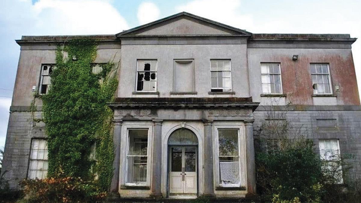 Bawn in Gowran DemesneBawn · 762 yd
 HawthornHawthorn · 3.3 mi
 The Pey FieldForest · 3.3 mi
 Tullaherin Church and Round TowerVisitor information · 4.5 mi
 St. Mogarra’s WellSpring · 4.7 mi
 Kilbline GraveyardArchaeological place · 5.4 mi
 Time CapsuleMemorial · 5.6 mi