
What is recorded here
Málainn Bhig is a coastal promontory fort near Crimlin Bridge in County Donegal. Its exact age and builders remain unrecorded, but the shape suggests people used the cliff edge to keep out invaders and perhaps watch the sea. The missing facts do not weaken the place; they refuse the temptation to invent a clean story. What is known is that the coast did the work of a wall, and human hands did the rest.
The Archaeological Survey of Ireland (ASI) is in the process of providing information on all monuments on The Historic Environment Viewer (HEV). Currently the information for this record has not been uploaded. To access available information for research purposes please make an appointment in advance with the Archive Unit (open Fridays 10.00 am – 5.00 pm), Department of Housing, Local Government and Heritage, The Custom House, Dublin 1 D01W6XO or email NMarchive@housing.gov.ie.
The monument record does not grant public access. Check the route and ask the landowner before entering private land.
- What survives
- Recorded monument
Places near here
 Droichead Crimlinbridge · 794 yd
 Trabane Bay Coastal Promontory FortPromontory fort, coastal · 1002 yd
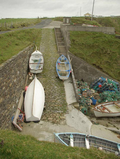 quay/wharfquay/wharf · 1106 yd
 Silver Strand ViewpointViewpoint · 1345 yd
 Malin Beg Signal TowerSignal tower · 1358 yd
 An Trá BhánBeach / strand · 1571 yd
 Rathlin O'Birne IslandIslet · 1.7 mi
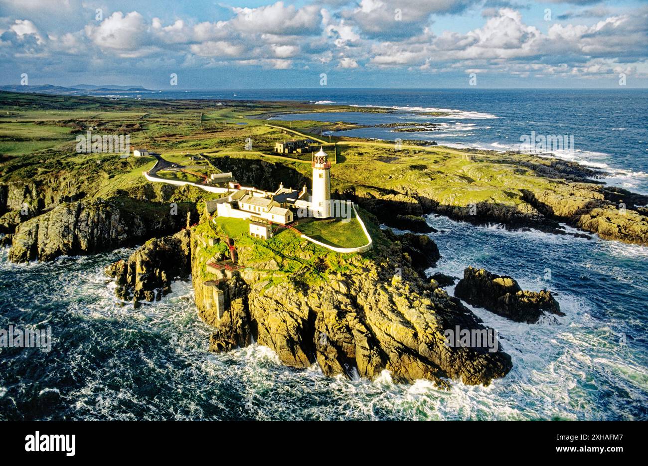 An EibhearIslet · 1.9 mi
 Rossan PointHeadland · 2.2 mi
 An Trá Bheag (Trá Bheag an Ghleanna)Beach / strand · 2.9 mi
 Glencolmcille Folk VillageMuseum · 3.0 mi
 Slieve LeagueMountain / peak · 3.6 mi
Other information
Photo: Credit not shown in the picture search · Rights wording not checked; contact us if this picture should be removed